- Previous
- /
- Nepal 2014
- /
- Next
Kanchenjunga South - To Oktang and Back
This is one of the reasons people do the Kanchenjunga trek! A couple of perfect days at high altitude, lots of sun and snow and big mountains all along the way.
-
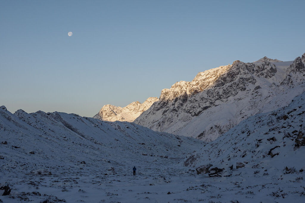
Early start from Ramche to Oktang. The moon is still up.
-
Early start from Ramche to Oktang. The moon is still up.
-

Kanchenjunga (8586 m) just showed up around the corner (to the left). To the right are Mt. Kabru (7412 m) and Rathong (6682 m). Behind them is India.
-
Three of the summits of Kanchenjunga are visible on this picture. Left to right: Main Summit, Kanchenjunga Cental and Kanchenjunga South
-
Looking back to the south
-
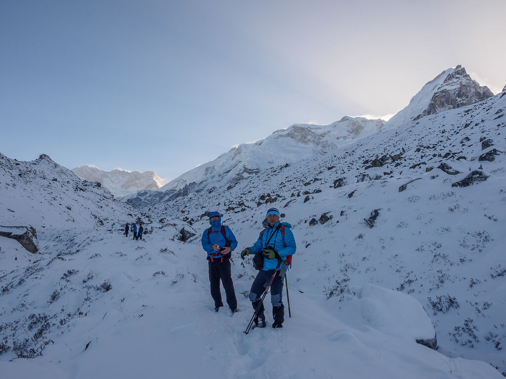
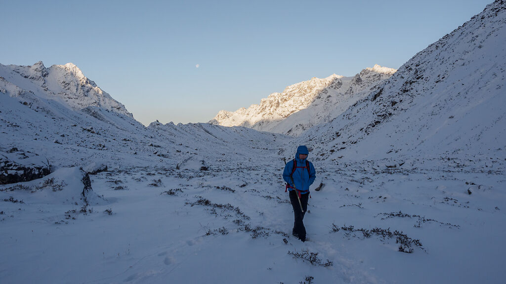
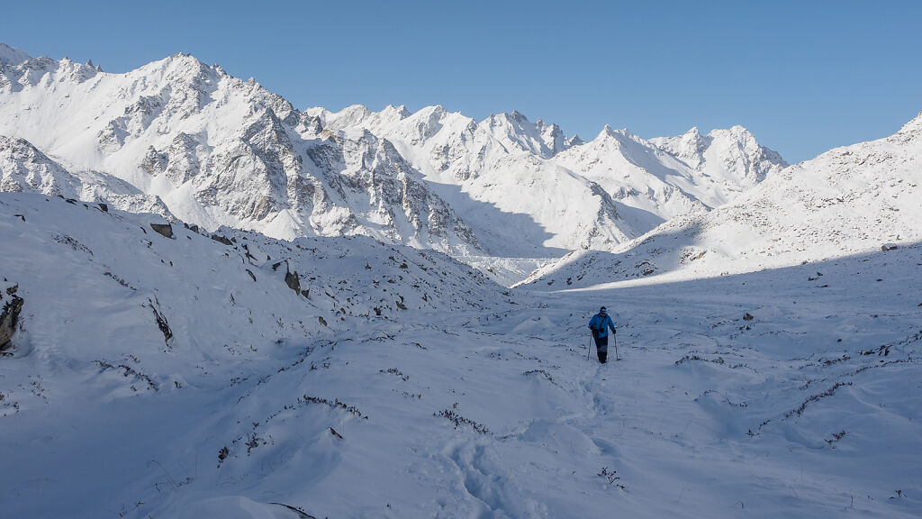
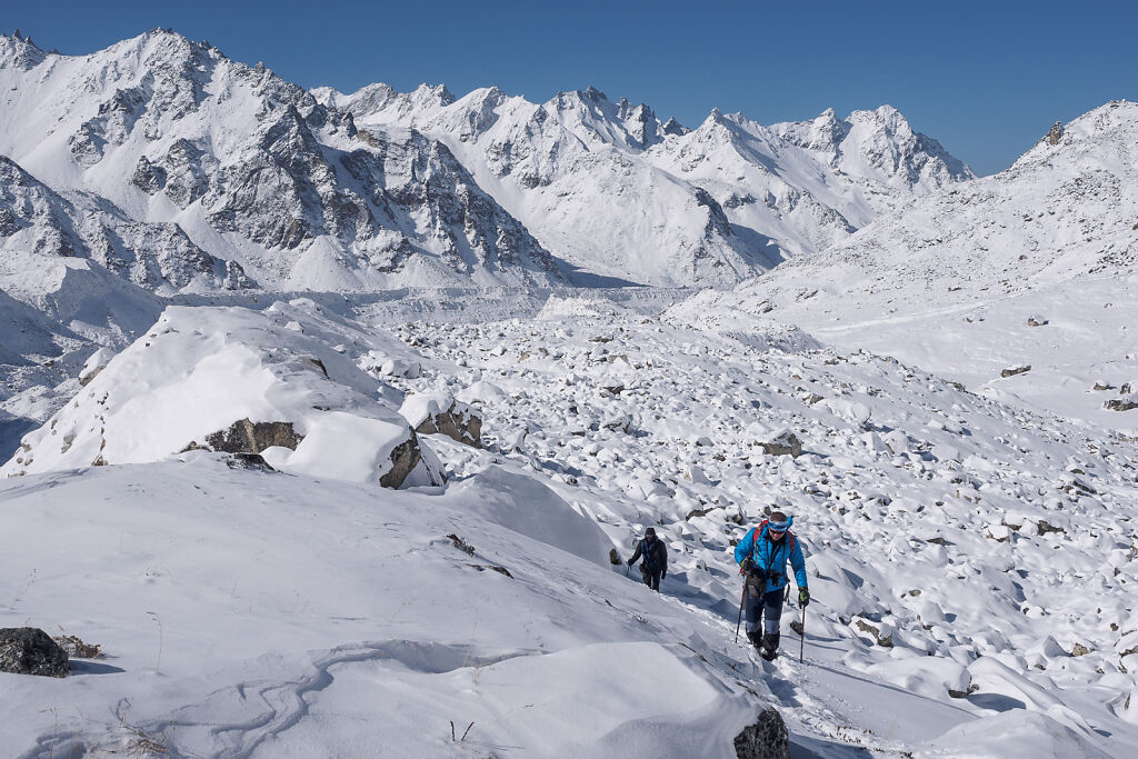
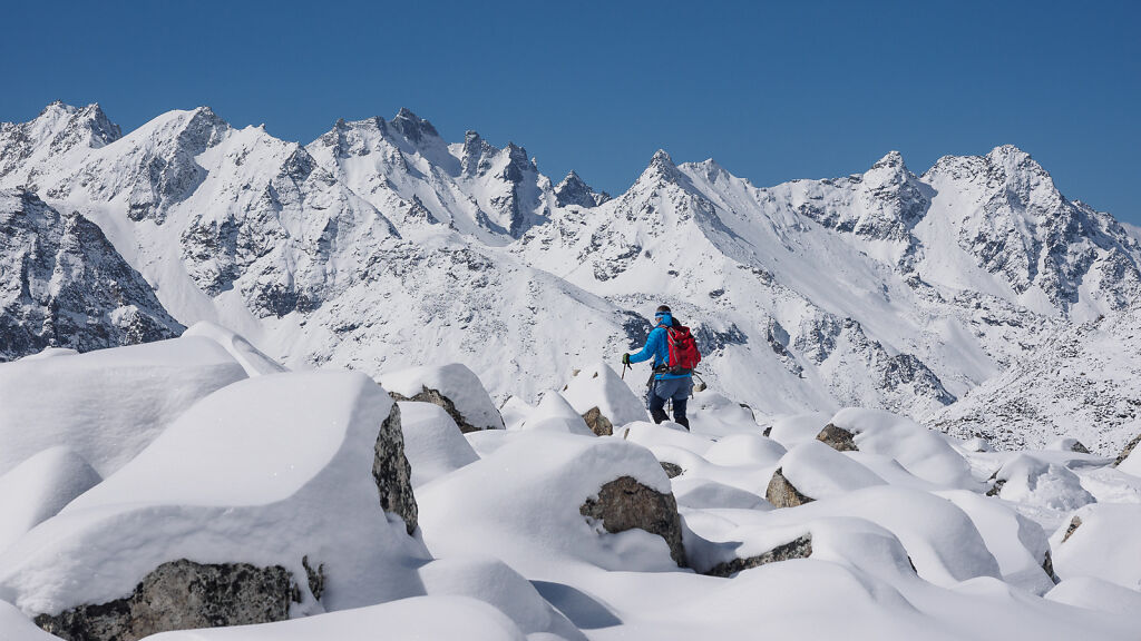
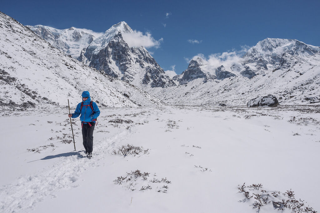
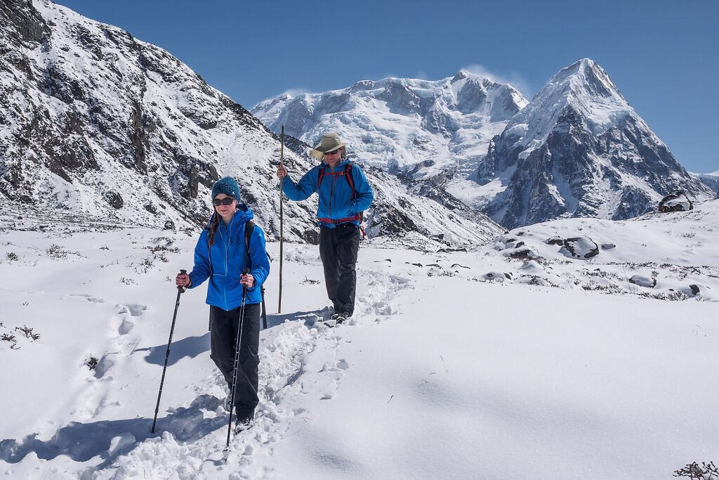
Resting on the way to Oktang
-

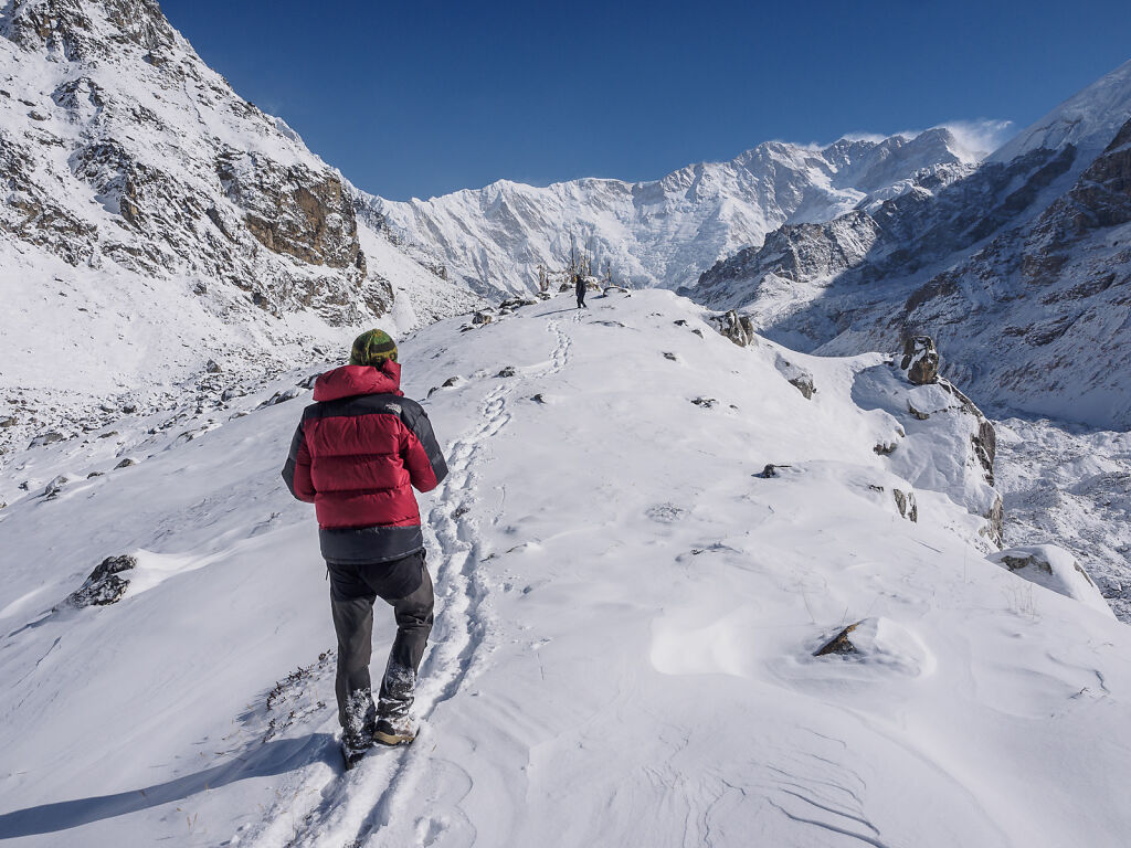
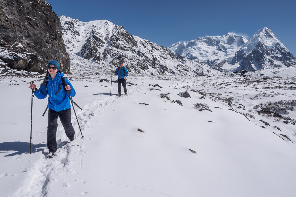
On the way to Oktang
-
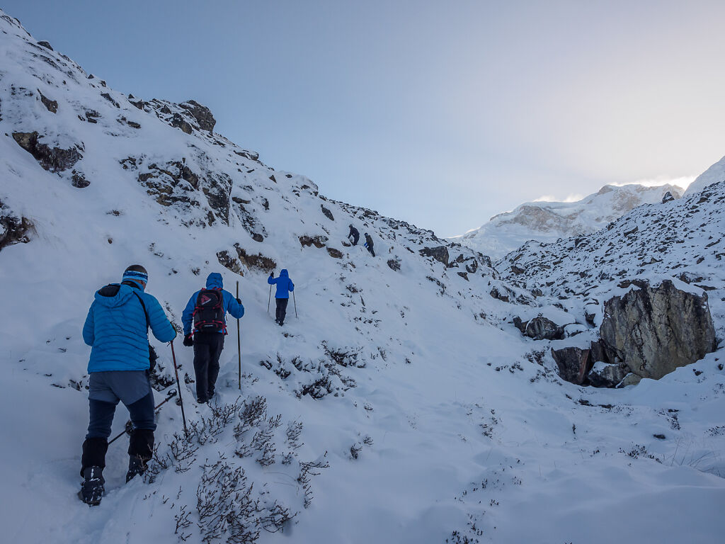
A steep section of the trail to Oktang
-

Kanchenjunga is getting bigger and bigger. Four of the five summits can be seen now. Left to right: Yalung Kang, Main Summit, Kanchenjunga Cental and Kanchenjunga South
-

Kanchenjunga, Kabru and Rathong (far right)
-
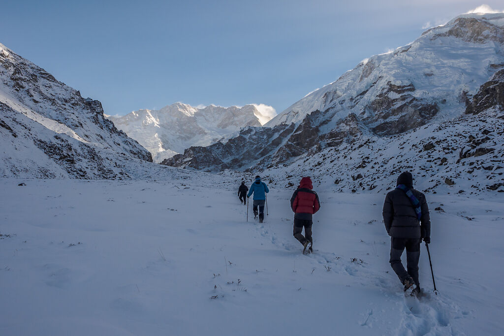
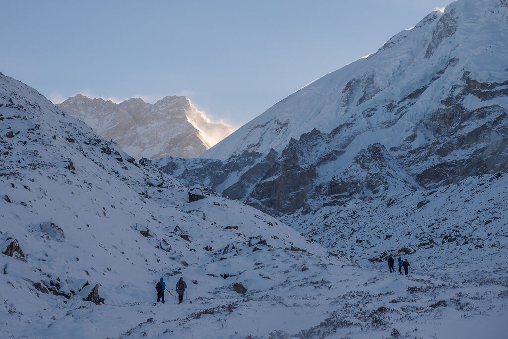
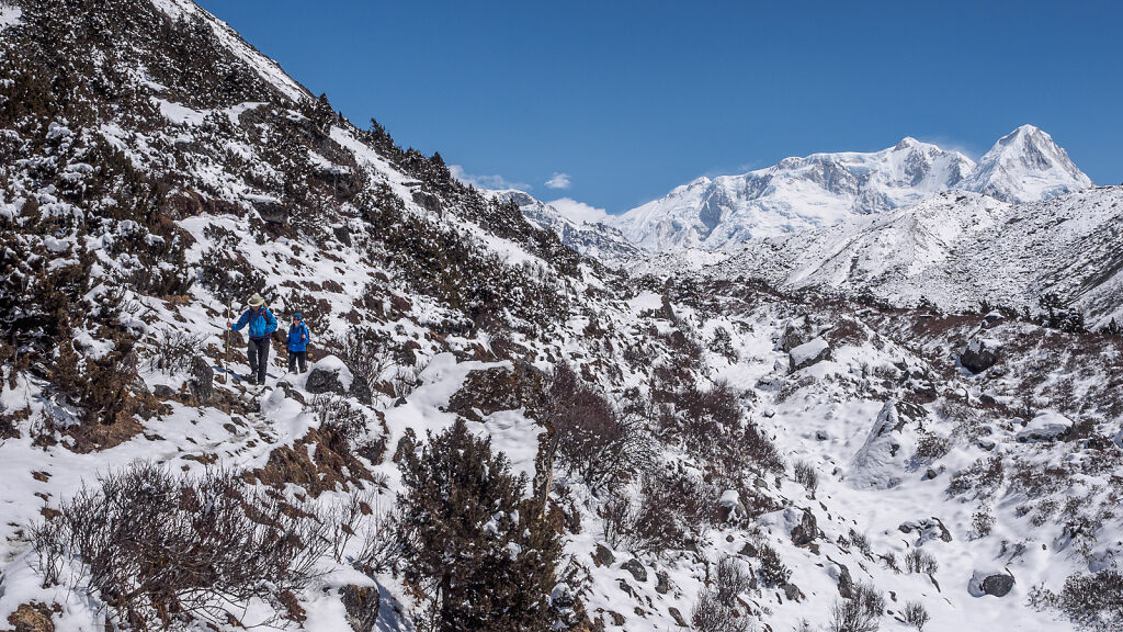
On the way to Oktang
-
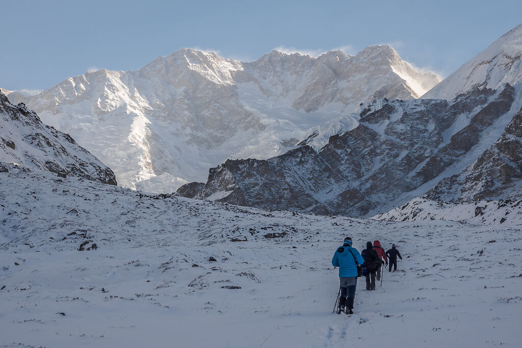
On the way to Oktang. All five summits of Kanchenjunga can be seen now. Left to right: Kangbachen, Yalung Kang, Main Summit, Kanchenjunga Cental and Kanchenjunga South
-
Looking back south. The jagged mountains on the horizon define the border with India.
-

Getting closer to Oktang. Kanchenjunga's south face is looming above.
-
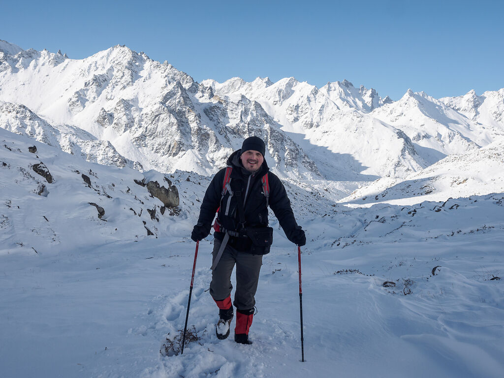
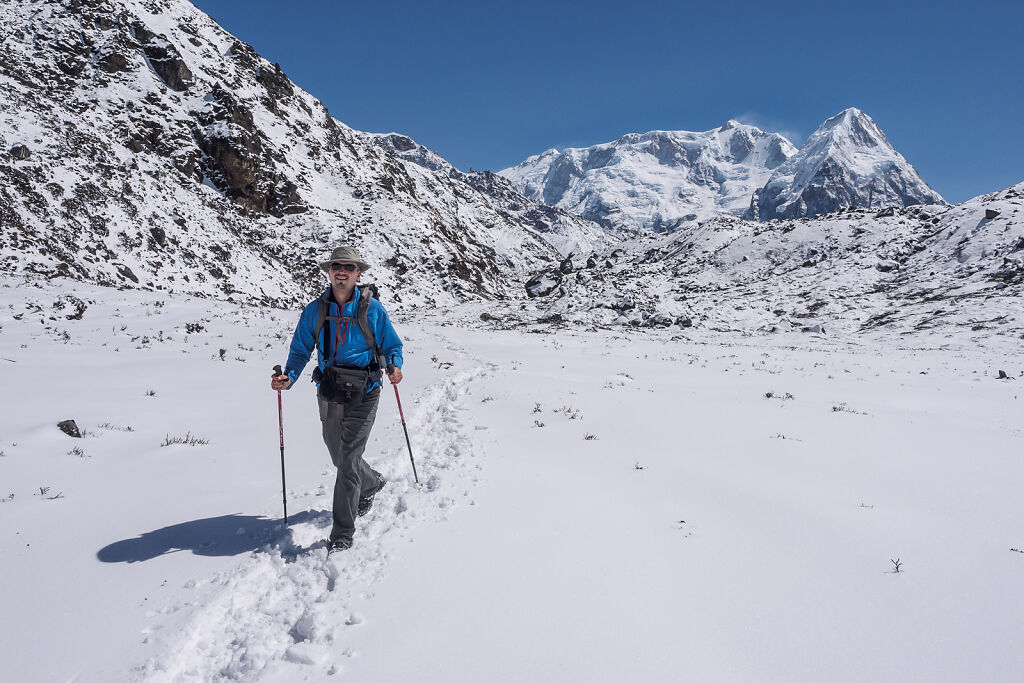
Happy on the trail ;-)
-
The sun is almost here - between Mt. Kabru (7412 m) and Rathong (6682 m)
-

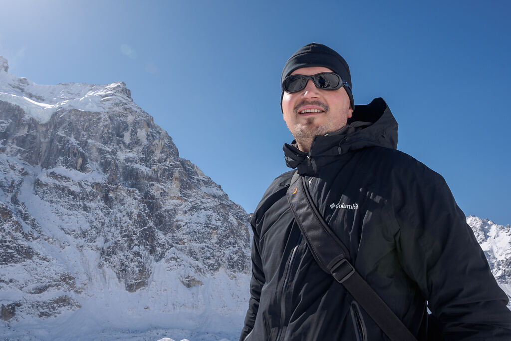
Our guide Tenzing posing with the rising sun
-
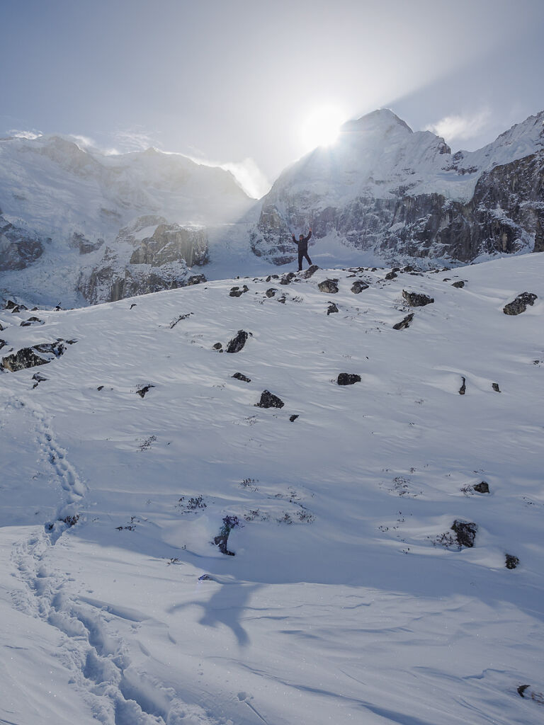
Our guide Tenzing posing with the rising sun
-

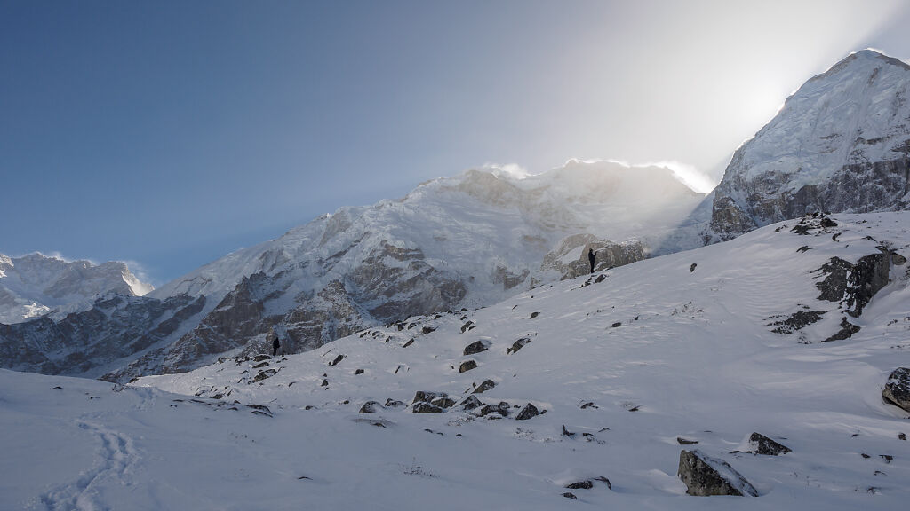
Close to Oktang. Looking back south.
-

Almost there!
-

Close to Oktang. Looking back south.
-
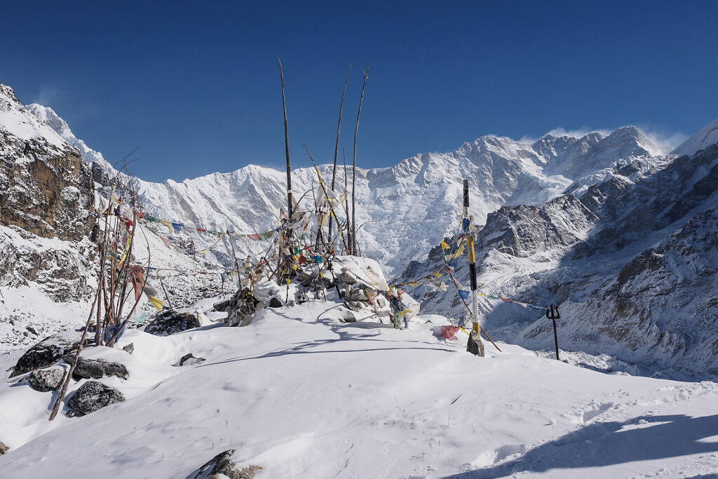
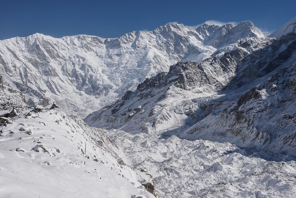
Oktang (4740 m). Yalung Glacier is down to the right. The base camp is further up on the glacier to the left. The snow however covered the crevasses and made the decent to the glacier too slippery so we only went this far.
-
The last climb before Oktang
-
Oktang (4740 m) and Kanchenjunga's south face. The top of Mt. Jannu (7710 m) can be seen to the far left.
-

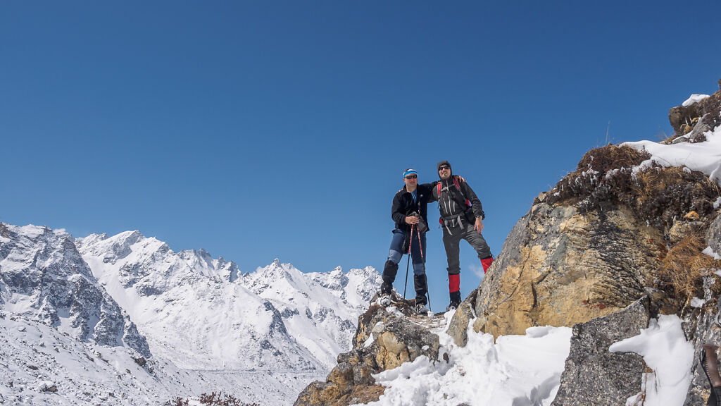
Posing with our guide Tenzing at Oktang (4740 m)
-

At Oktang (4740 m)
-
Kanchenjunga's south face. Left to right: Yalung Kang, Main Summit, Kanchenjunga Cental and Kanchenjunga South
-
Kanchenjunga's south face from Oktang. Down to the right is Yalung Glacier.
-

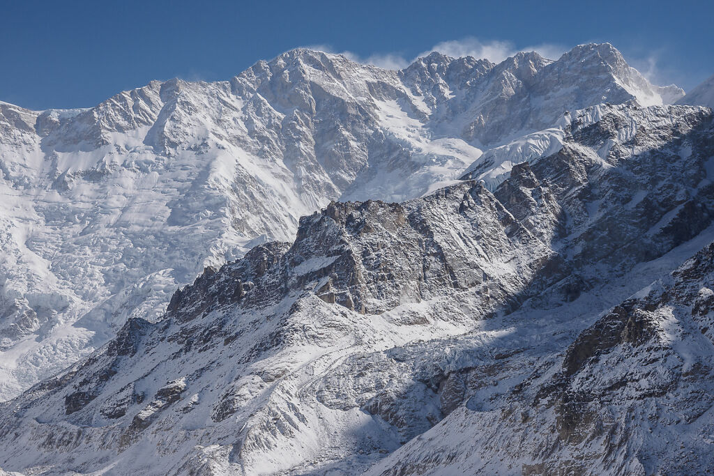
A close up of Kanchenjunga from Oktang. The Main Summit (8586 m) is the pointy one in the middle.
-
Happy at Oktang ;-)
-
Coming back down to Ramche
-

Coming back down to Ramche with Kanchenjunga's south face behind
-
On the trail back to Ramche
-

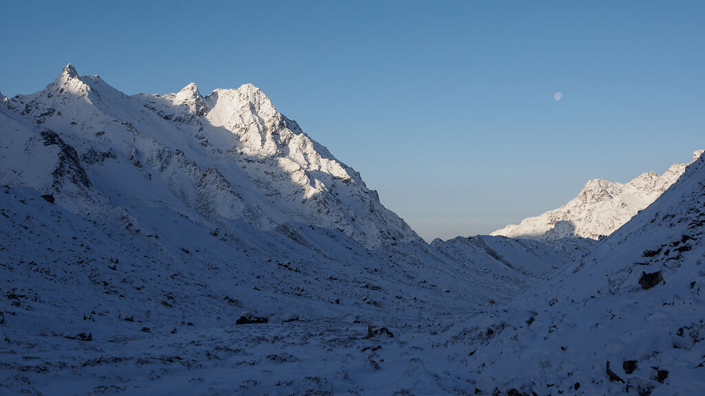
Looking back from Ramche to Kabru and Rathong. Kanchenjunga is hiding behind the ridge to the left.
-
A look from Ramche to Mt. Kabru (7412 m), Rathong (6682 m) and Kokthang (6148 m)
-
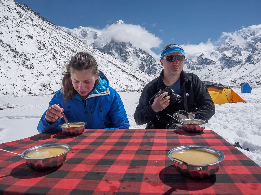
Enjoying a perfect morning at Ramche
-
Ramche (4610 m)
-
Ramche (4610 m) in the afternoon. Rathong (6682 m) looks impressive in the clouds.
-

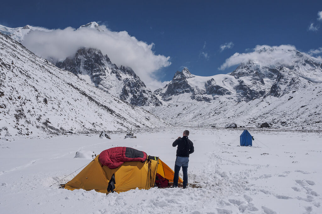
Morning after a very very cold night in the tent.
-
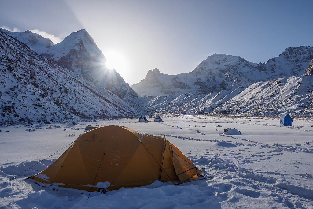
Morning in Ramche (4610 m)
-

Ramche (4610 m) in the morning. Bokta Peak (6143 m), (also spelled as Boktoh) is the right one in the background.
-
Starting back down to Tseram. Bokta Peak (6143 m) is behind.
-
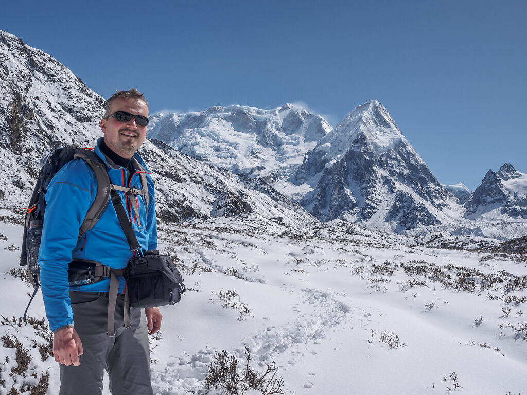
Posing with Kabru and Rathong
-
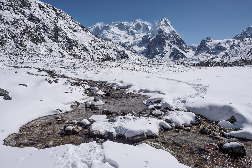
Ramche valley with Kabru and Rathong
-
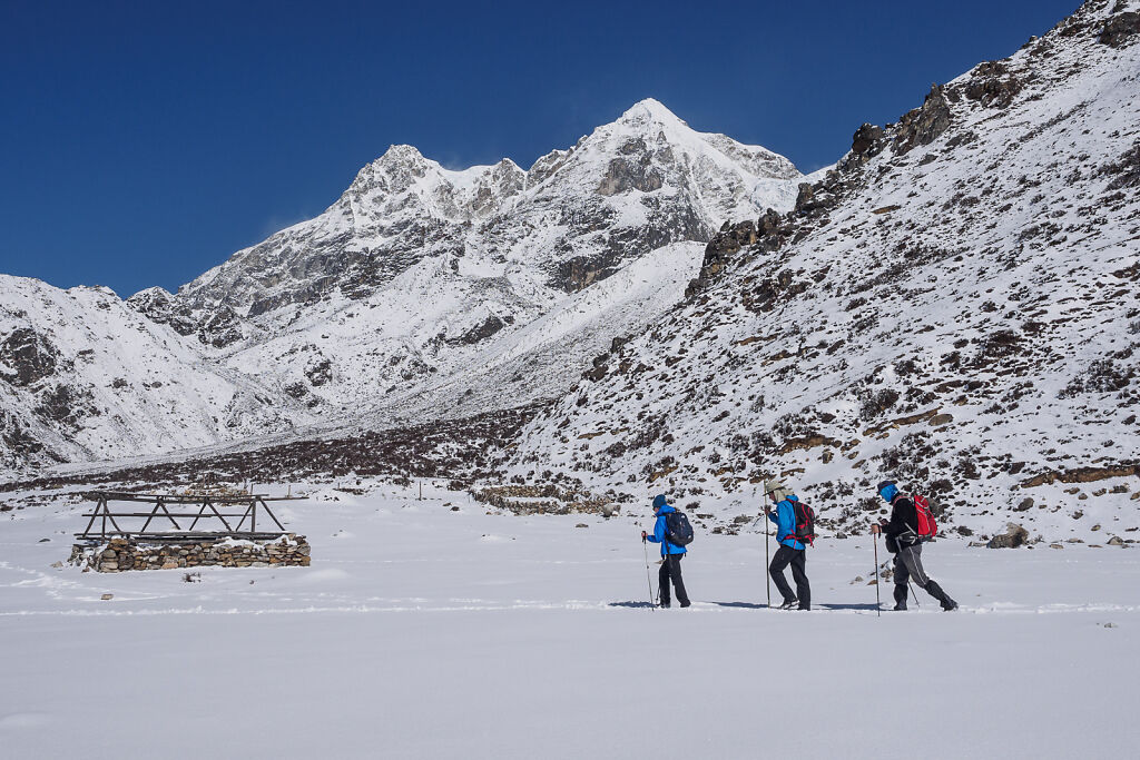
On the trail back to Tseram
-
On the trail back to Tseram
-

Ramche valley with Kabru and Rathong
-
On the trail back to Tseram
-
On the trail back to Tseram
-

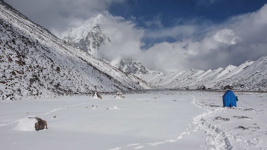
Night at Tseram (3868 m). The white mountain left on the horizon is Kabru (7412 m).