- Previous
- /
- Nepal 2014
- /
- Next
Kanchenjunga South - Into the Wild
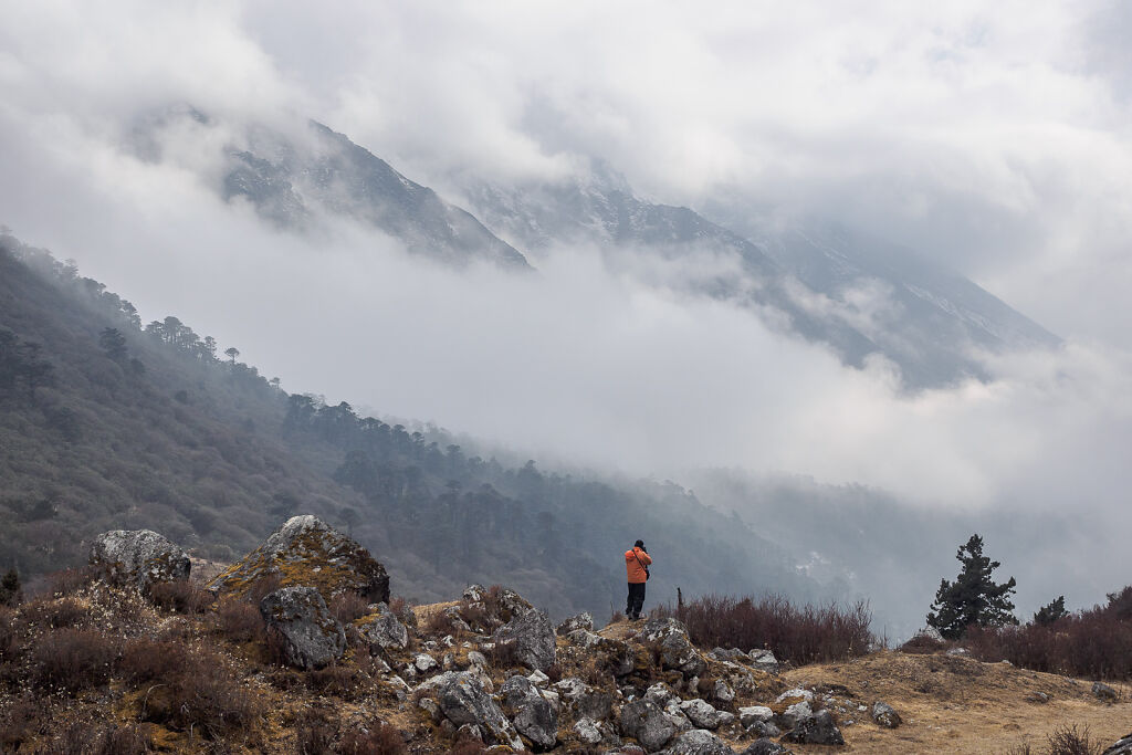
Pictures from the higher and wilder part of the Kanchenjunga South trek. There are no villages here, only a few lodges most of which were closed in March. This is the place where green disappears and gives way to barren rocky landscapes and big icy mountains.
-
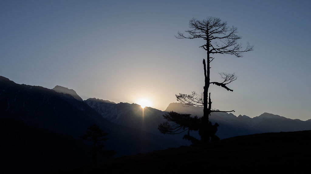
Sunrise from Lasiya Bhanjyang
-
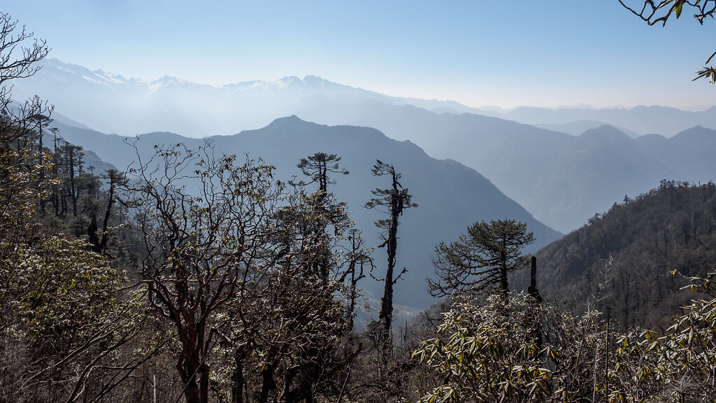
Morning views to the south from Lasiya Bhanjyang
-

Our camp at Lasiya Bhanjyang
-

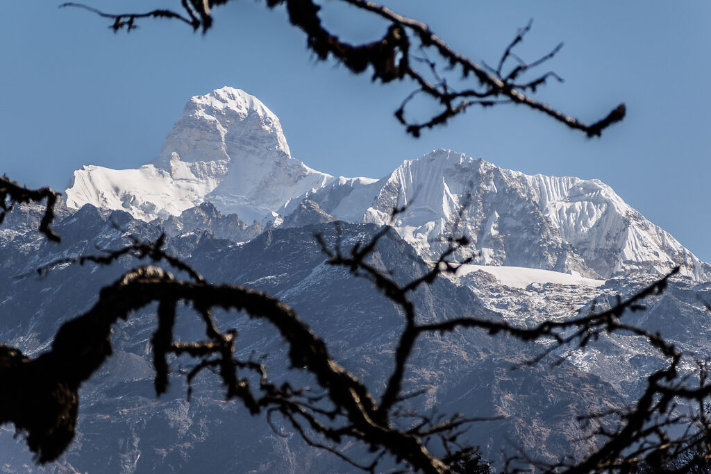
Mt. Jannu (7710 m) from Lasiya Bhanjyang
-
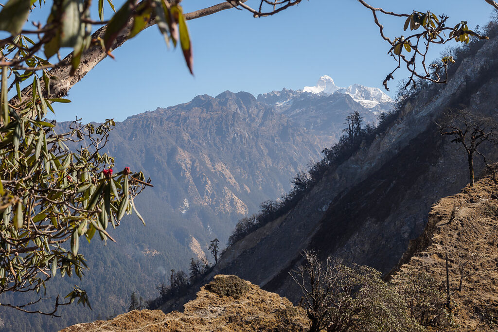
A long shot of Mt. Jannu (7710 m) from Lasiya Bhanjyang
-
Mt. Jannu (7710 m) from Lasiya Bhanjyang. Below is Simbuwa Khola Valley - the way to Kanchenjunga South base camp.
-
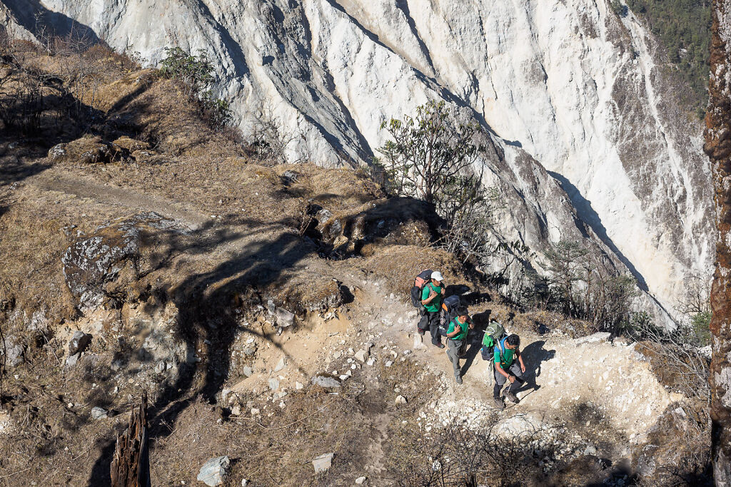
Crossing Lasiya Bhanjyang (pass). Our guide, sherpa and cook are wearing the company's green colors ;-)
-
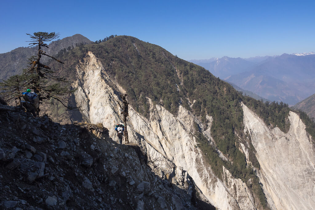
Crossing Lasiya Bhanjyang. There is a big landslide to the right (north side of the pass)
-
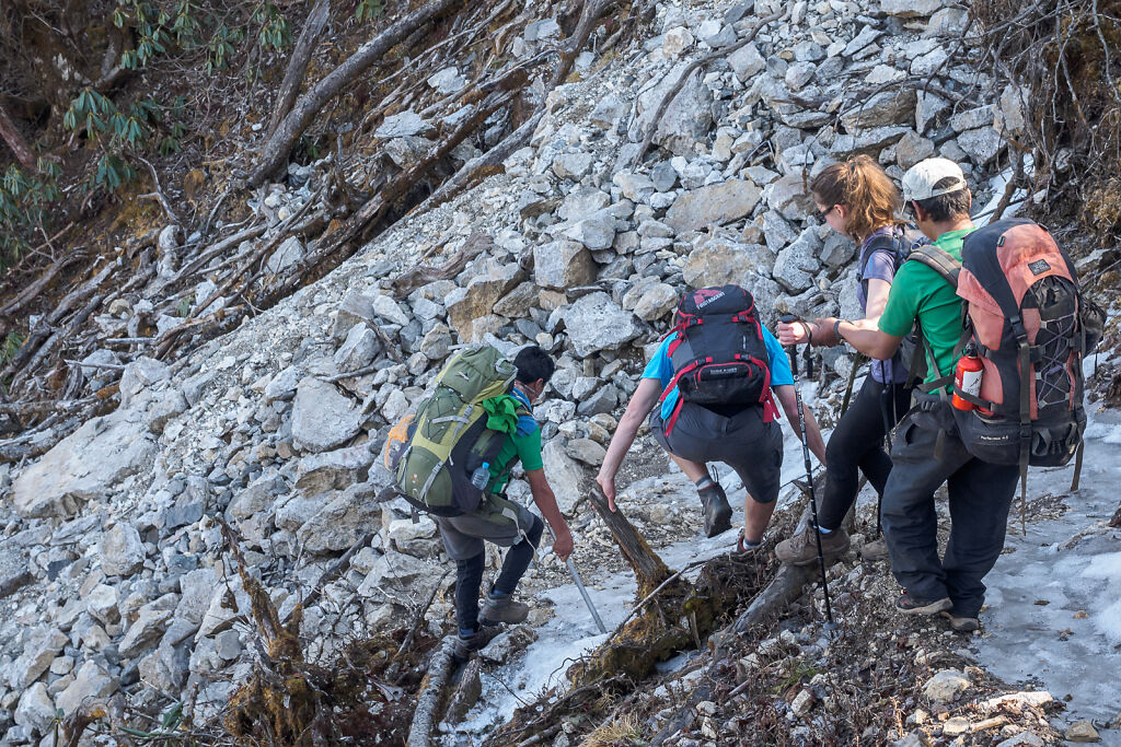
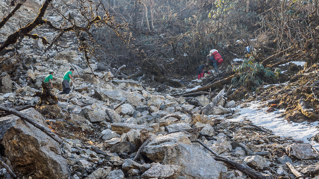
Crossing some icy (and slippery) patches on the north side of Lasiya Bhanjyang
-
Dawa Dorje - one of our porters - slipped and fell on his face at this point of the decent from Lasiya Bhanjyang. On the picture our guide and sherpa (left) are scrambling up to help.
-
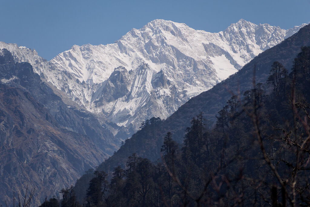
First view of Kanchenjunga from just below Lasiya Bhanjyang. The main summit (8586 m) is to the right. The big one in the middle is Yalung Kang (8505 m).
-
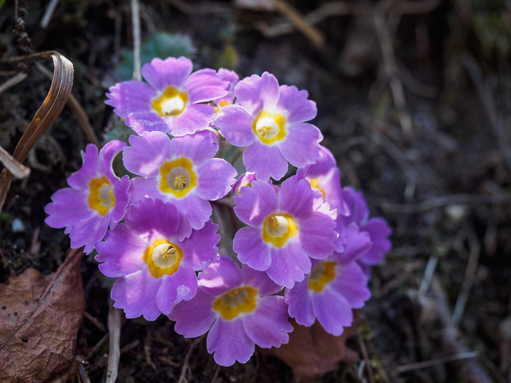
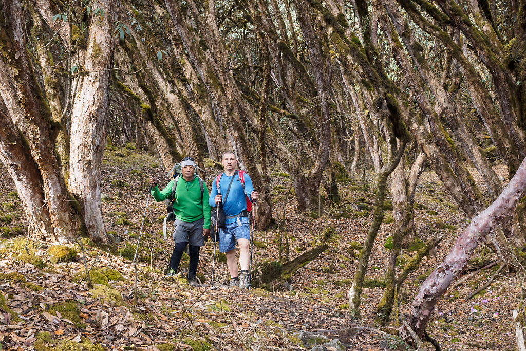
Local vegetation by the trail
-
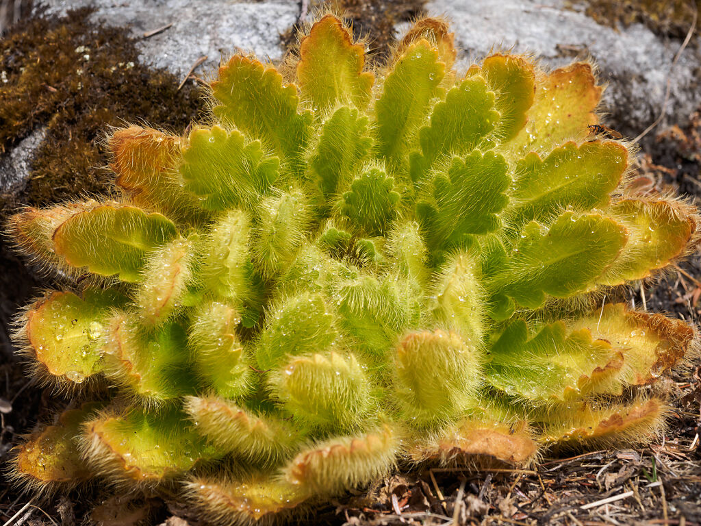
Local vegetation by the trail
-
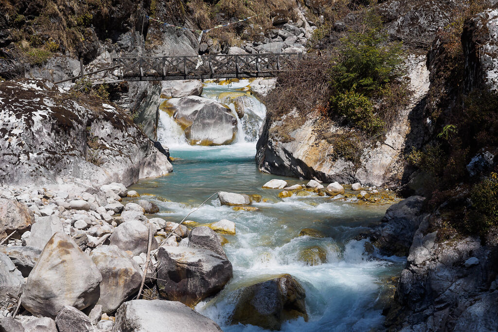
Simbuwa Khola (river) just below Tortong (2980 m)
-

One way of protecting your feet from the rugged terrain is to wrap them in tape ;-)
-

Tortong (2980 m). A forest fire (above) was burning just above the camp all the time we spent there. A rain during the night put an end to it. I was told that some yak herders start these fires to open space for new grass to grow.
-

Dawa Dorje on the morning after his accident. We gave him antibiotic paste and his face was back to normal in a few days.
-
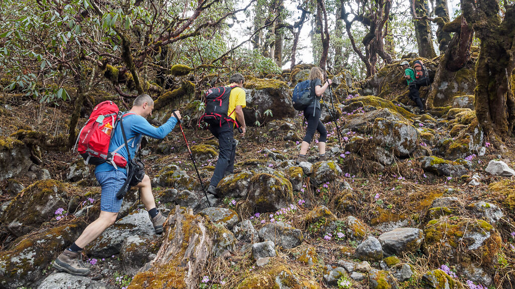
In the rhododendron forest above Tortong on the way to Tseram
-
On the way to Tseram
-

On the way to Tseram
-

On the way to Tseram
-

A Buddhist meditation cave (hermitage) on the way to Tseram
-
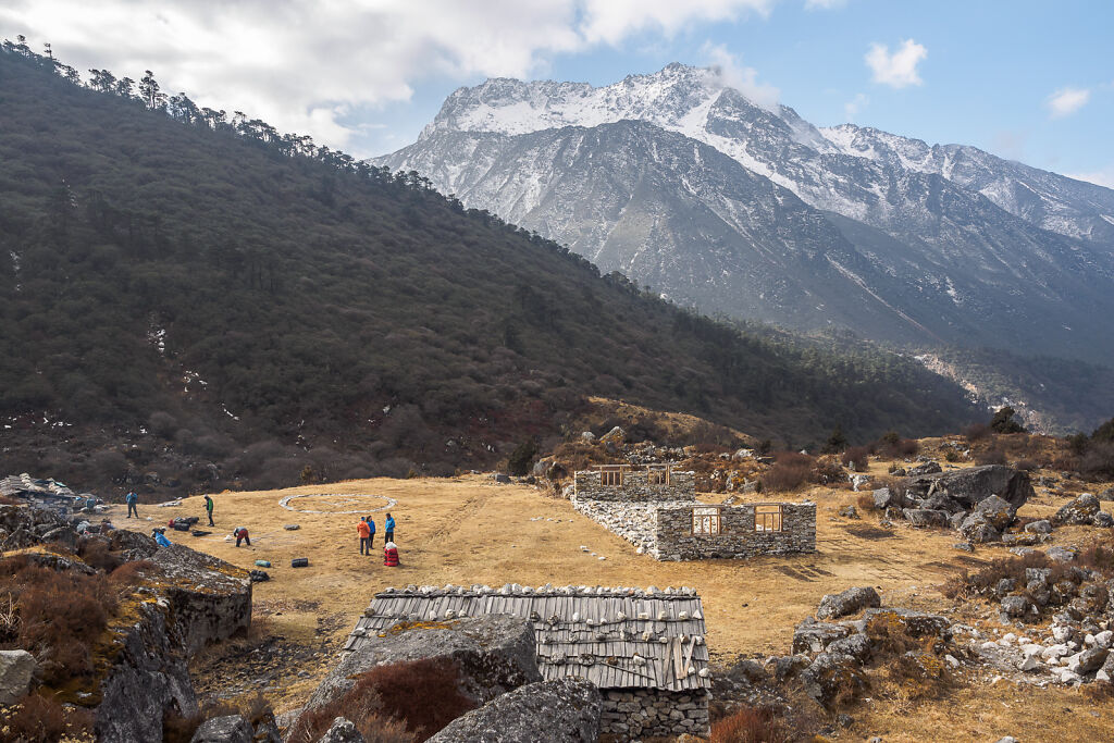
Tseram, a.k.a. Cheram (3868 m) has a few lodges but all of them were closed in the middle of March
-

Resting at Tseram (3868 m)
-

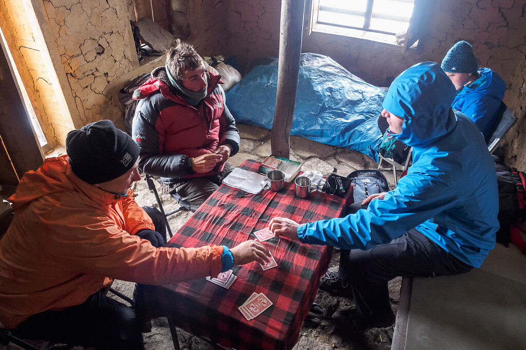
Our porters trying to stay warm by the fire at Tseram
-

Our porters trying to stay warm by the fire at Tseram
-
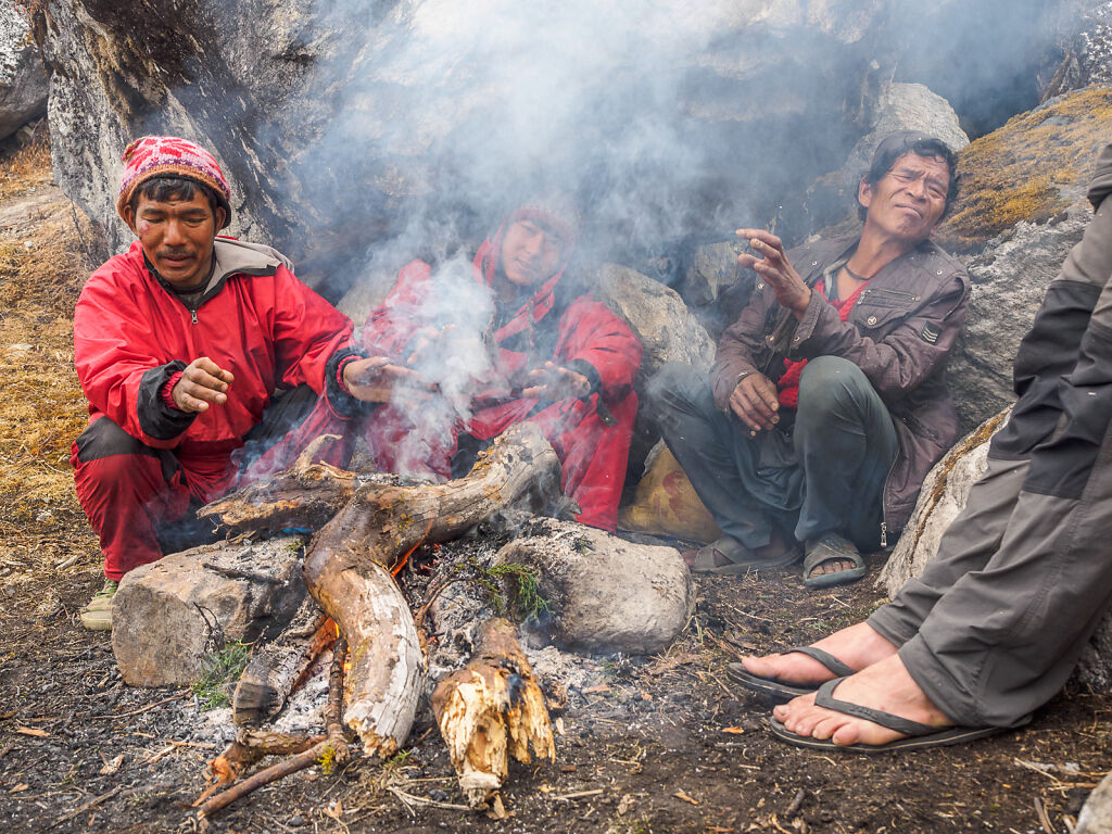
Our porters trying to stay warm by the fire at Tseram
-
Afternoon views from Tseram
-
Tseram (3868 m)
-
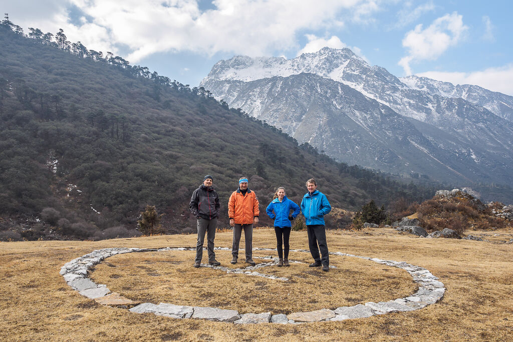
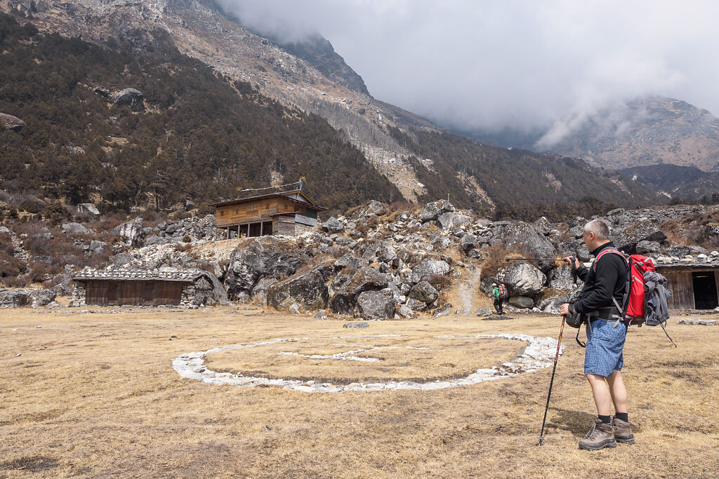
Posing on the Tseram helipad
-
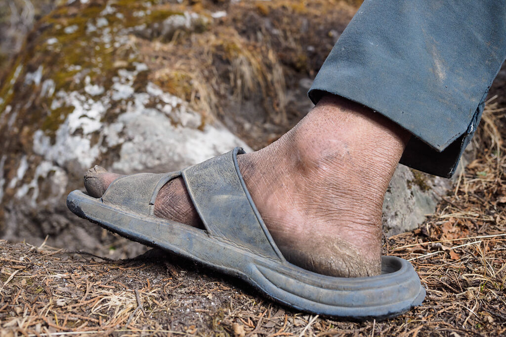
Our porters used slippers most of the time
-

Our oldest porter on the way to Ramche
-

Our porters are having a break on the way to Ramche
-

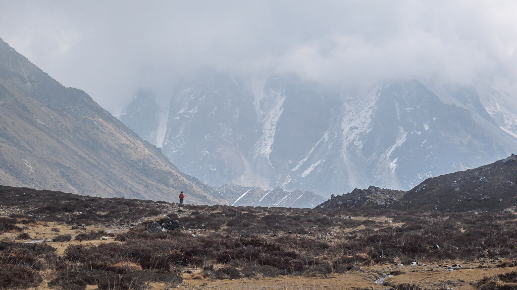
Resting on the way to Ramche. Mt. Kabru (7412 m) and Rathong (6682 m) are hiding in the mists behind.
-

Mt. Kabru (7412 m) and Rathong (6682 m) on the border with India
-
Getting closer to Ramche
-

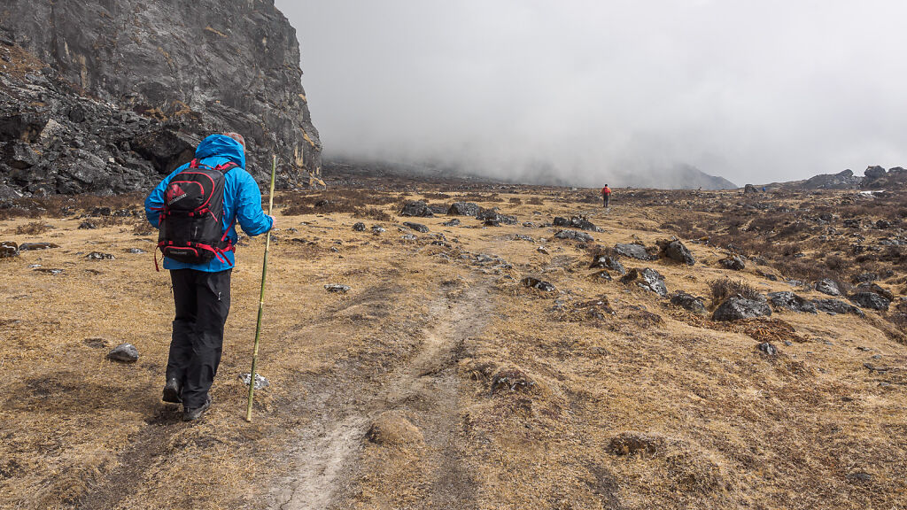
The flat area before Ramche
-
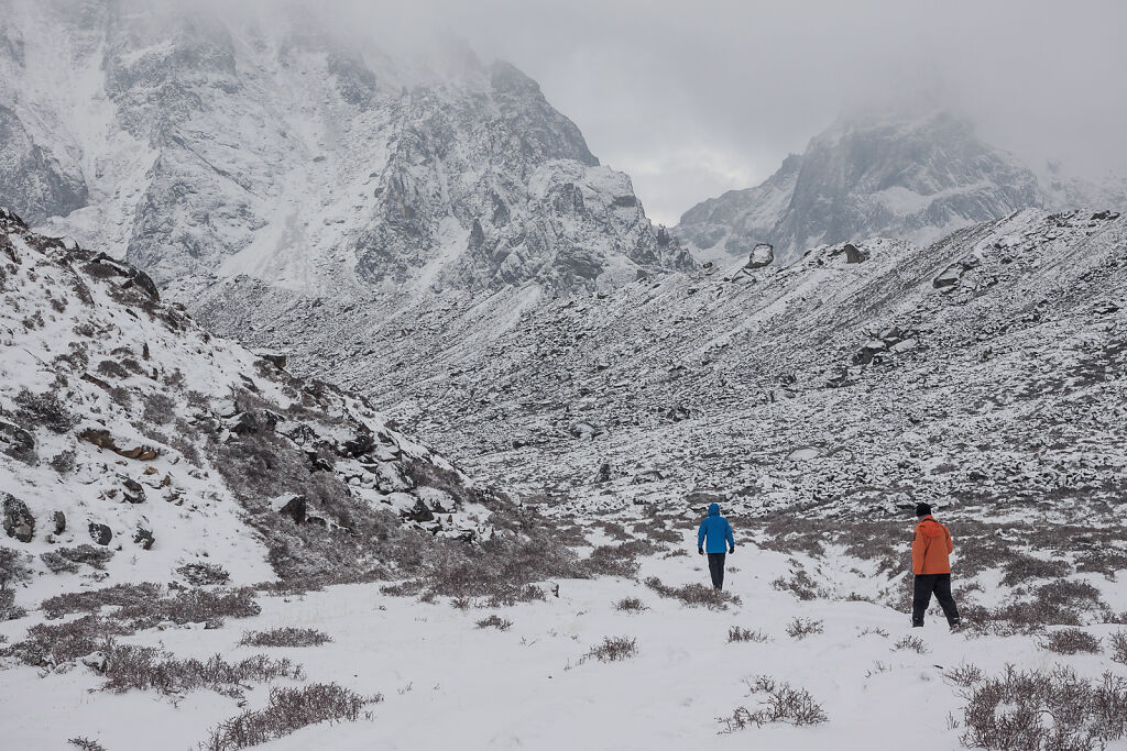
Getting closer to Ramche
-
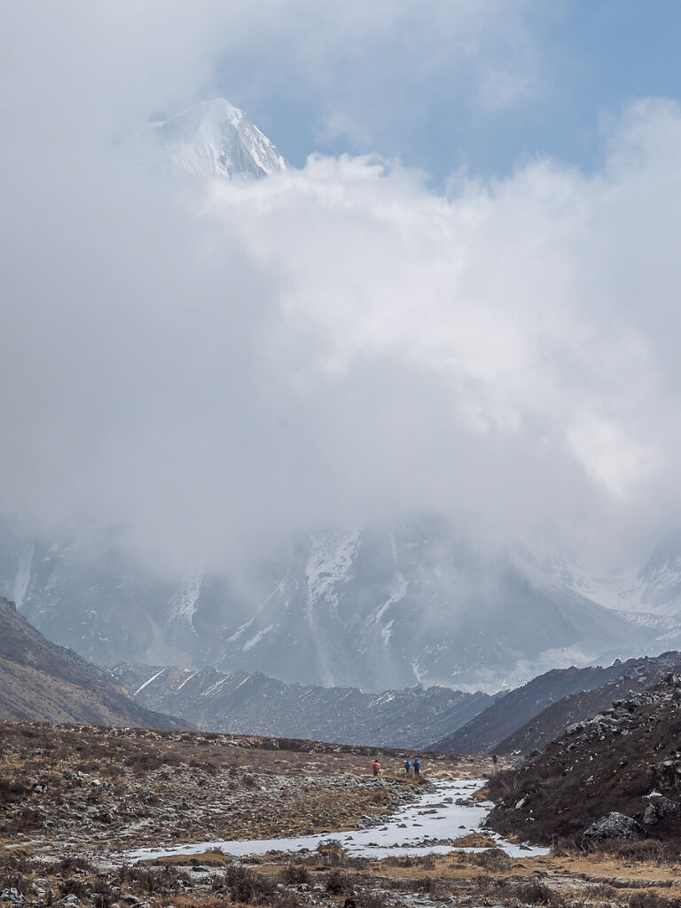
On the trail to Ramche. Mt. Rathong (6682 m) is peeking through the clouds above.
-

Mt. Kabru (7412 m) is Kanchenjunga's southern neighbor
-
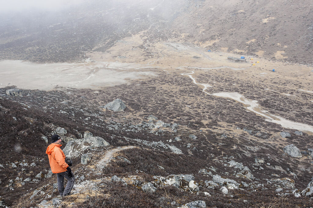
A view of Ramche from the lateral moraine of the Yalung glsacier. It began to snow as soon as we arrived.
-
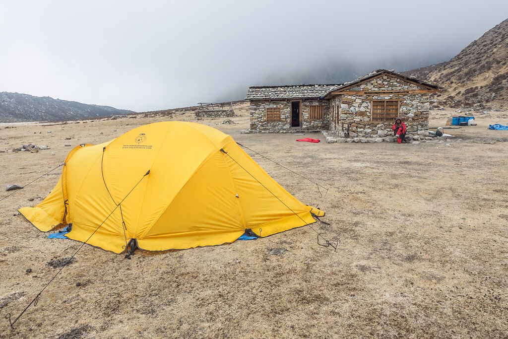
Ramche (4610 m) has only one lodge. It was colder in it than inside our tents.
-
Ramche (4610 m)
-
Ramche (4610 m)
-
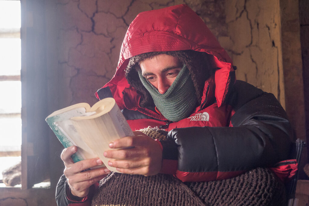
Inside the lodge in Ramche (4610 m)
-

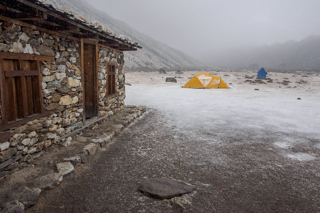
Snow covering Ramche in the late afternoon
-
Snow covering Ramche in the late afternoon
-

Snow covering Ramche in the late afternoon
-

It kept snowing during the evening. By the morning 30 cm of fresh snow covered the camp.