- Previous
- /
- Nepal 2014
- /
- Next
Kanchenjunga North - Pangpema
Here is the high point of Kanchenjunga trek - both literally and as a figure of speech. These pictures are from a day hike from Lhonak to Pangpema (5140 m) and back. This is the only place from the trek where one can see the North Face of Kanchenjunga.
-

Early start before sunrise from Lhonak. The "smoking" mountains on the horizon are Tent Peak, a.k.a. Kirat Chuli (7362 m) and Nepal Peak (7177 m)
-
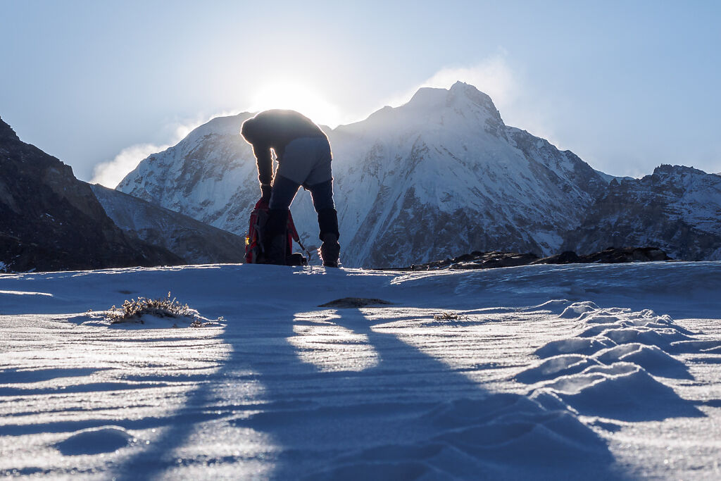
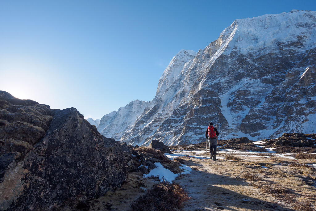
On the trail to Pangpema. The sun is rising behind Tent Peak, a.k.a. Kirat Chuli (7362 m) and Nepal Peak (7177 m) on the Nepal-India border. The tracks in the snow are from a snow leopard.
-

On the trail to Pangpema. The sun is rising behind Tent Peak, a.k.a. Kirat Chuli (7362 m) and Nepal Peak (7177 m) on the Nepal-India border. The tracks in the snow are from a snow leopard.
-

On the trail to Pangpema. A carcass of a blue sheep, possibly killed by a snow leopard, can be seen to the right.
-
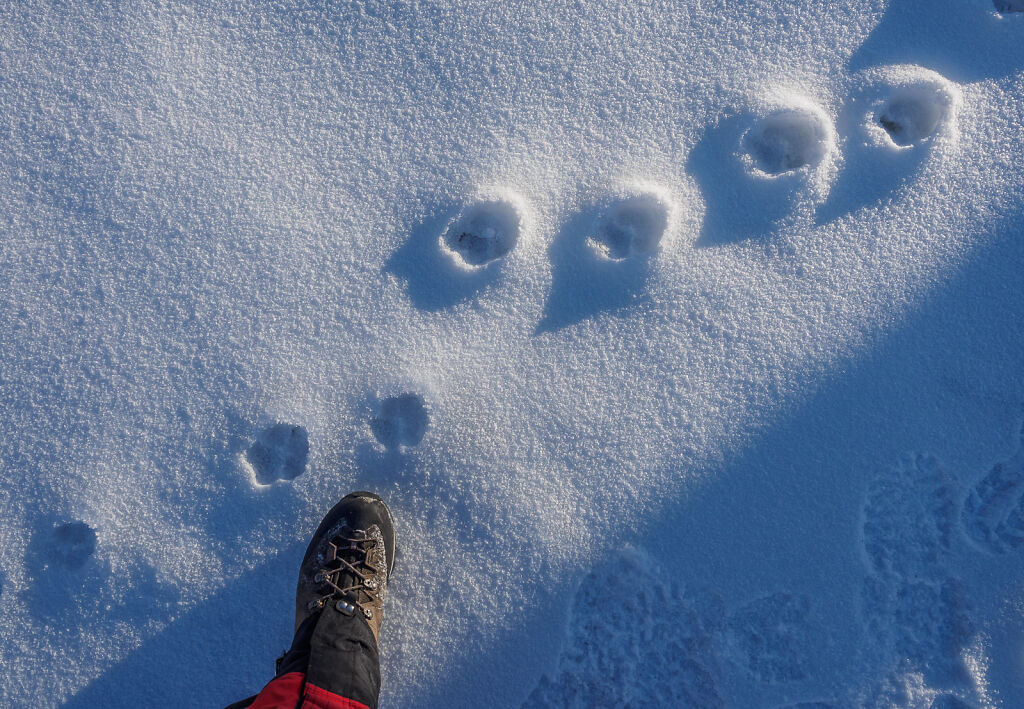
Snow leopard tracks on the trail to Pangpema
-
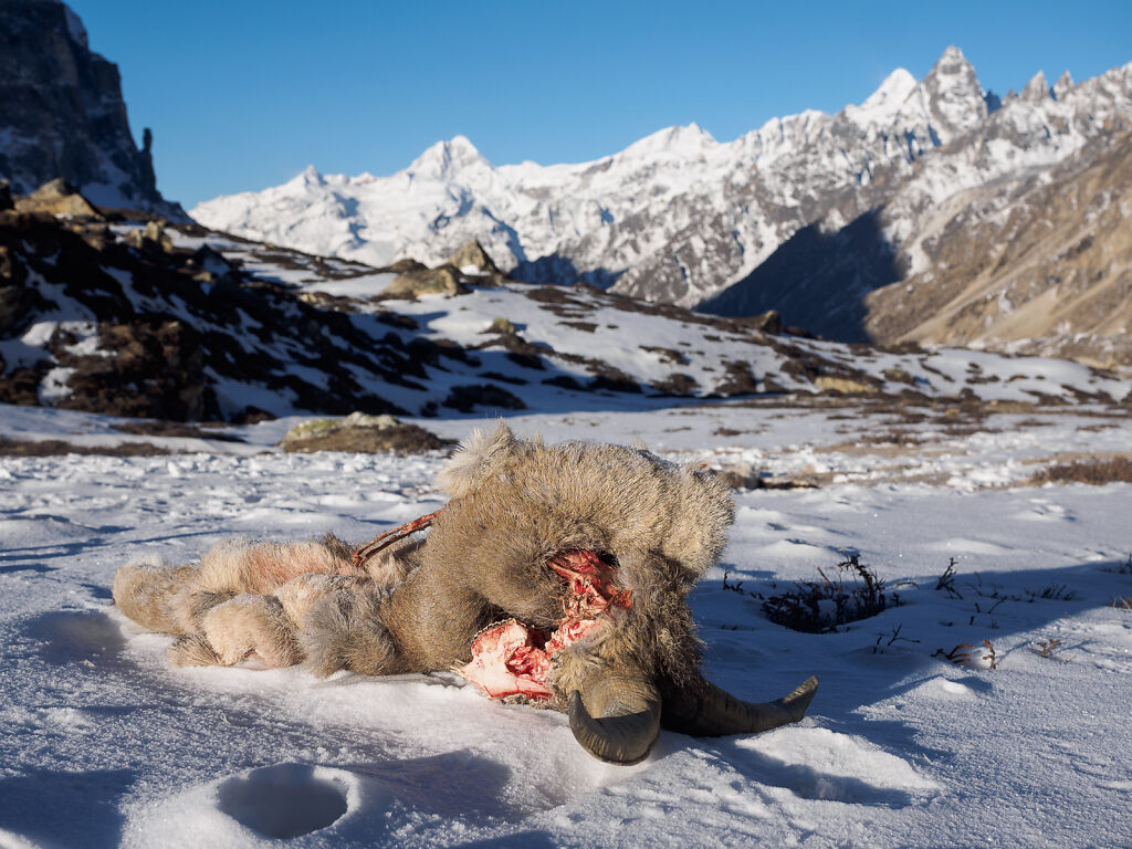
A blue sheep carcass by the trail to Pangpema. Some snow leopards must have had a feast here not more than a couple of days ago.
-
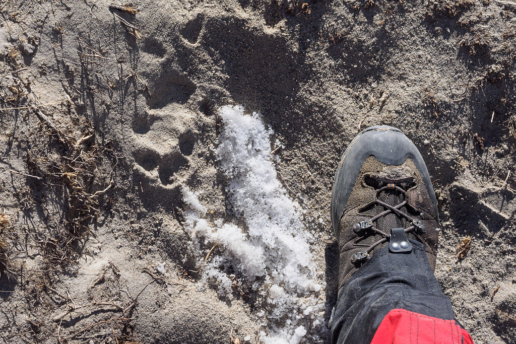
Snow leopard tracks on the trail to Pangpema
-
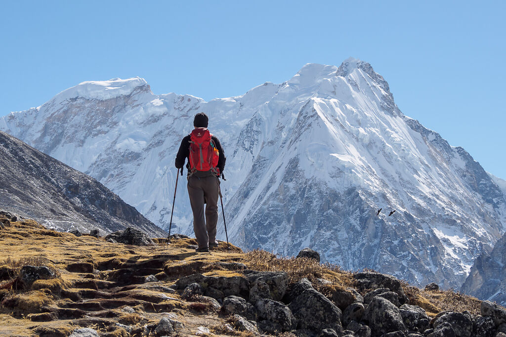
Early morning on the trail to Pangpema. To the right are Wedge Peak, a.k.a. Chang Himal, a.k.a. Ramtang Chang (6802 m) and Gimmigela (6415 m).
-

Early morning on the trail to Pangpema. To the right are Wedge Peak, a.k.a. Chang Himal, a.k.a. Ramtang Chang (6802 m) and Gimmigela (6415 m).
-

Early morning on the trail to Pangpema. To the right are Wedge Peak, a.k.a. Chang Himal, a.k.a. Ramtang Chang (6802 m) and Gimmigela (6415 m).
-

Early morning on the trail to Pangpema. To the right are Wedge Peak, a.k.a. Chang Himal, a.k.a. Ramtang Chang (6802 m) and Gimmigela (6415 m).
-
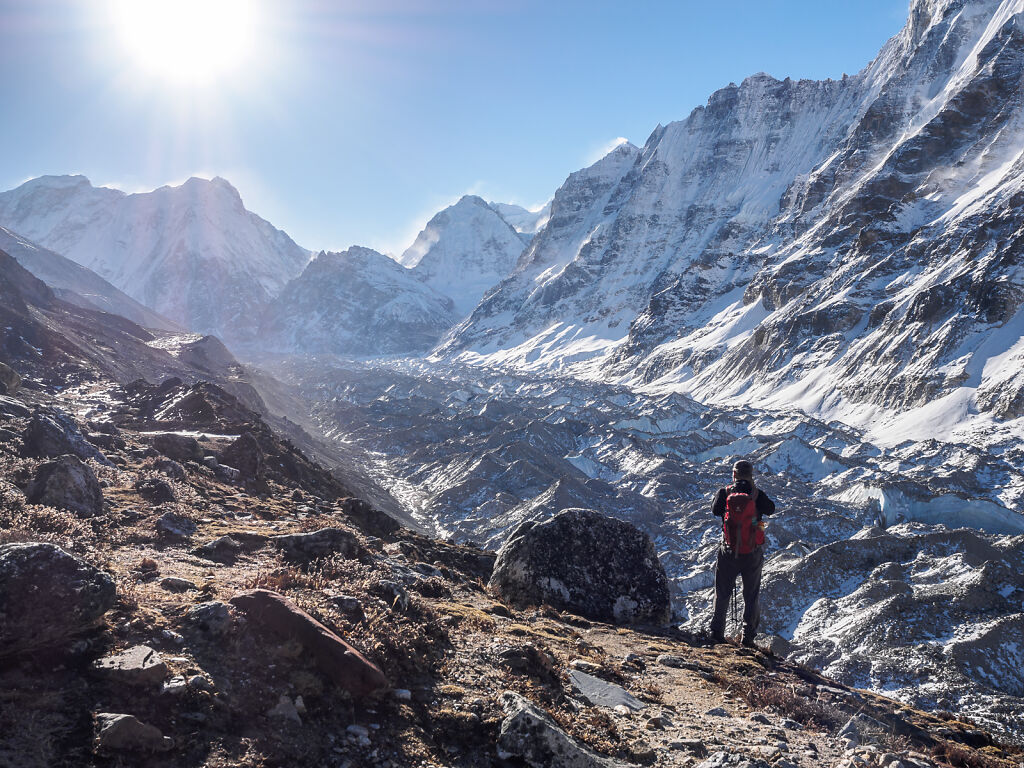
The sun is rising over Kanchenjunga Glacier. On the horizon are Tent Peak, a.k.a. Kirat Chuli (7362 m), Nepal Peak (7177 m) and Taple Shikar (6447 m)
-
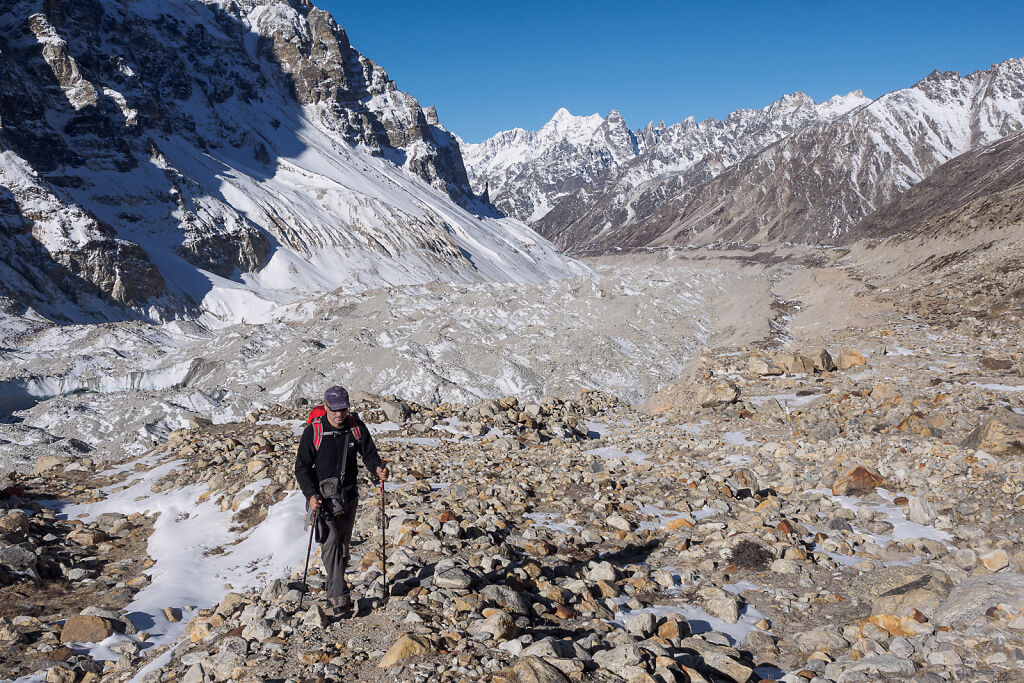
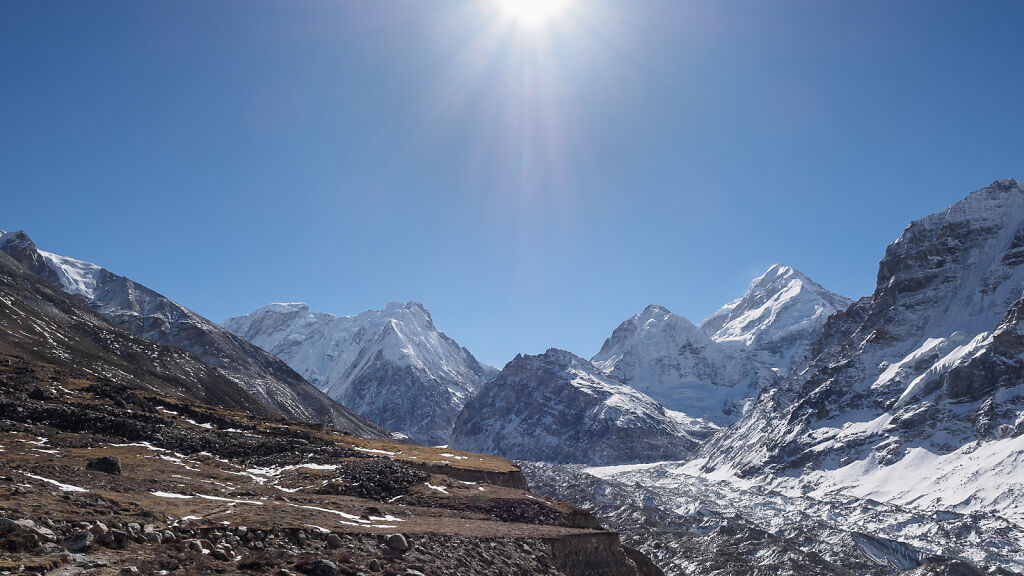
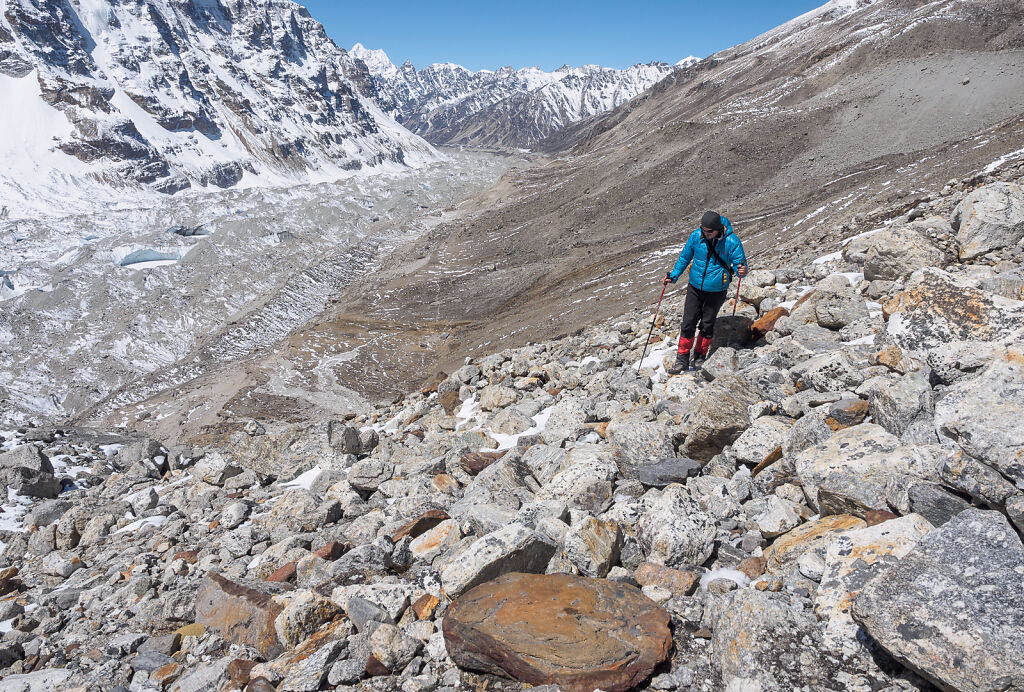
Looking back west down the Kanchenjunga Glacier from the trail to Pangpema. On the horizon are Tanga (Sarphu) mountains.
-

Looking back west down the Kanchenjunga Glacier from the trail to Pangpema. On the horizon are Tanga (Sarphu) mountains.
-

Tanga (Sarphu) mountains.
-
Tent Peak, a.k.a. Kirat Chuli (7362 m) and Nepal Peak (7177 m) from the trail to Pangpema
-

Cocks Comb (5925 m), Taple Shikar (6447 m) and The Twins, a.k.a. Gimmigela Chuli (7350 m) from the trail to Pangpema
-
Tent Peak, a.k.a. Kirat Chuli (7362 m) and Nepal Peak (7177 m) from the trail to Pangpema
-
Left to right: Tent Peak, Nepal Peak, Cocks Comb, Taple Shikar and The Twins. Kanchenjunga Glacier is down to the right.
-
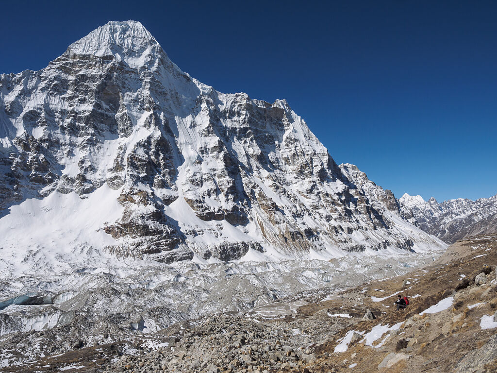
Wedge Peak, a.k.a. Chang Himal, a.k.a. Ramtang Chang (6802 m) rises above Kanchenjunga Glacier
-
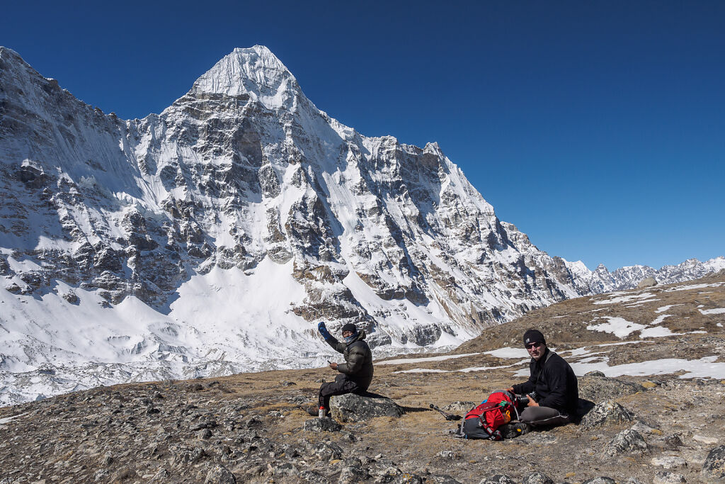
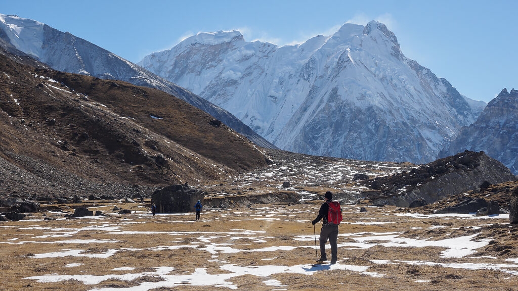
A rest stop on the way to Pangpema. Wedge peak is behind.
-
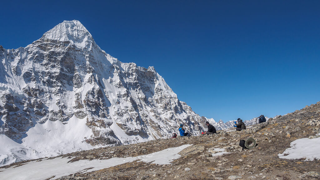
A rest stop on the way to Pangpema. Wedge peak is behind.
-
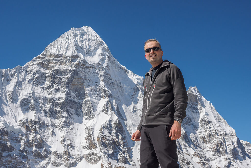
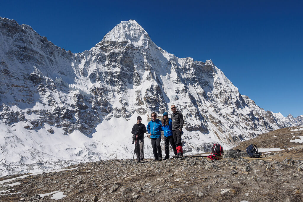
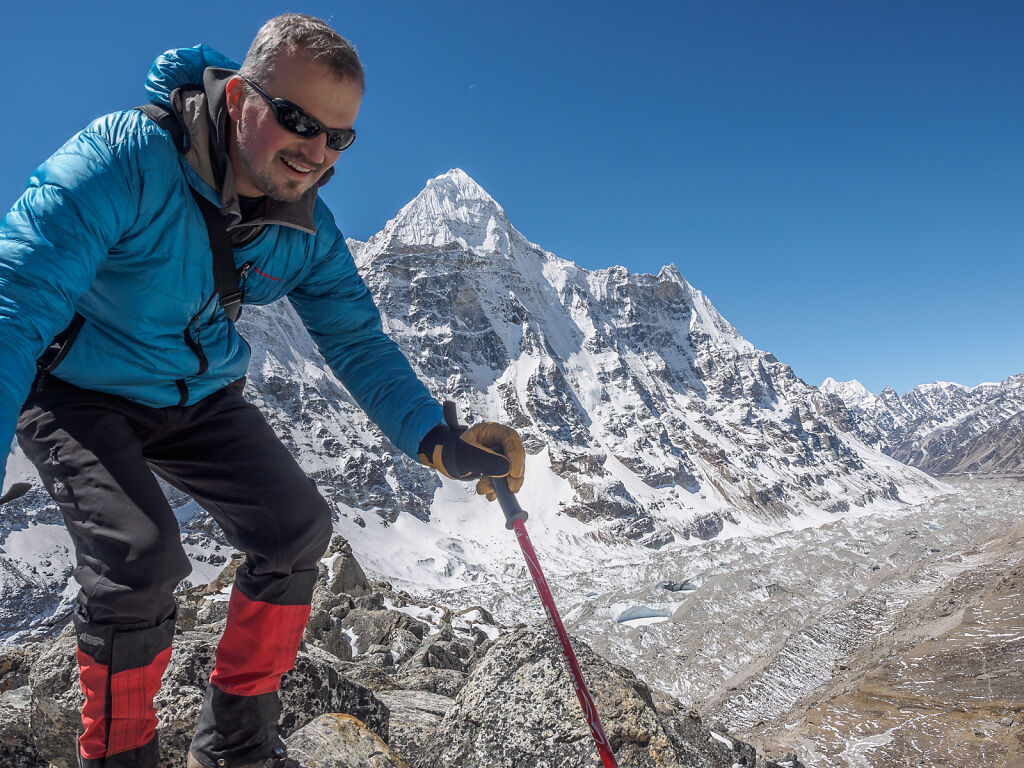
Posing with Wedge Peak
-
Finally reached Pangpema (5140 m). Posing with Kanchenjunga (8586 m) and Yalung Kang (8505 m) behind.
-
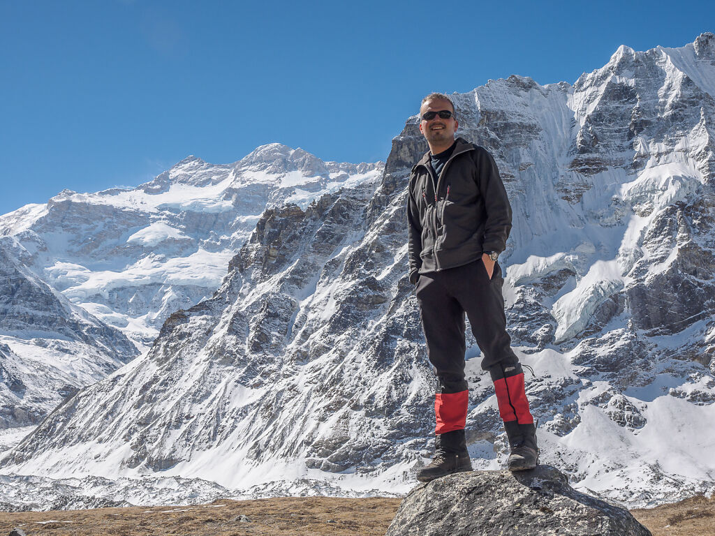
At Pangpema (5140 m) with Wedge Peak behind.
-

Posing with Kanchenjunga and Yalung Kang at Pangpema (5140 m)
-

The North Face of Kanchenjunga (8586 m) and Yalung Kang (8505 m) from Pangpema
-
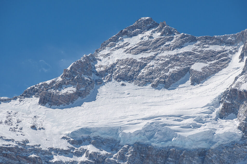
A close up of Kanchenjunga's summit (8586 m)
-
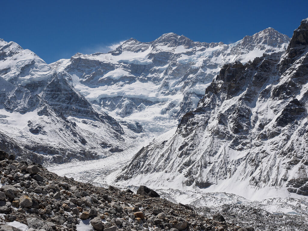
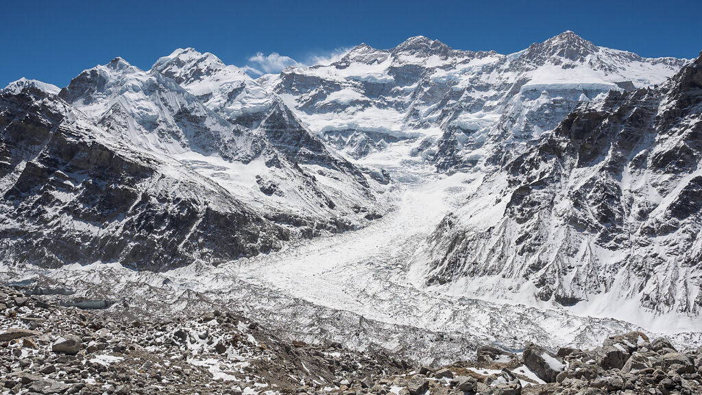
Kanchenjunga's North Face from Pangpema. Left to right are Kanchenjunga Main (8586 m), Yalung Kang (8505 m) and Kangbachen (7902 m). Kanchenjunga Glacier flows below.
-

Looking back west from Pangpema. Wedge Peak (6802 m) is to the left.
-
Climbing one of the rocky ridges north-east from Pangpema with Kanchenjunga's North Face looming above
-
Up on the ridge hunting for better views of Kanchenjunga. Pangpema's single stone hut can be seen below and left from me.
-

At about 5400 m on a ridge above Pangpema hunting for better views of Kanchenjunga. Pangpema's single stone hut can be seen below and right from me.
-
At about 5400 m on a ridge above Pangpema. Wedge Peak is behind.
-

Posing at about 5400 m. Behind me left to right are: Taple Shikar, The Twins, Kanchenjunga Main, Yalung Kang and Kangbachen.
-

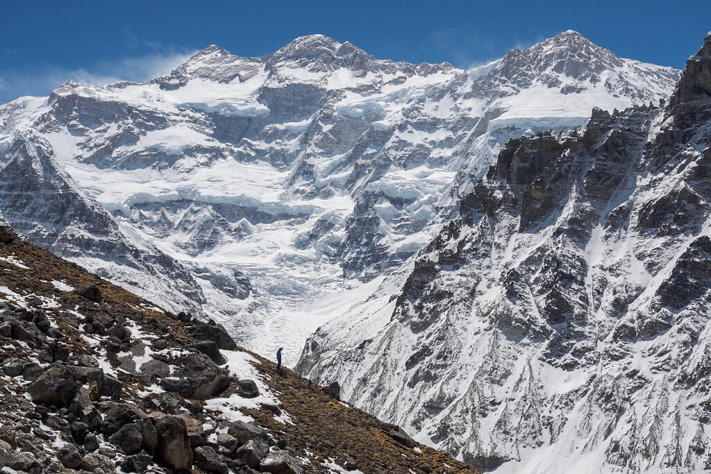
Kanchenjunga's North Face seen from a ridge above Pangpema, at approximately 5400 m
-
Kanchenjunga's North Face seen from a ridge above Pangpema, at approximately 5400 m. Left to right are The Twins (P 7007), Taple Shikar, The Twins (P 7350), Kanchenjunga Main, Yalung Kang and Kangbachen.
-
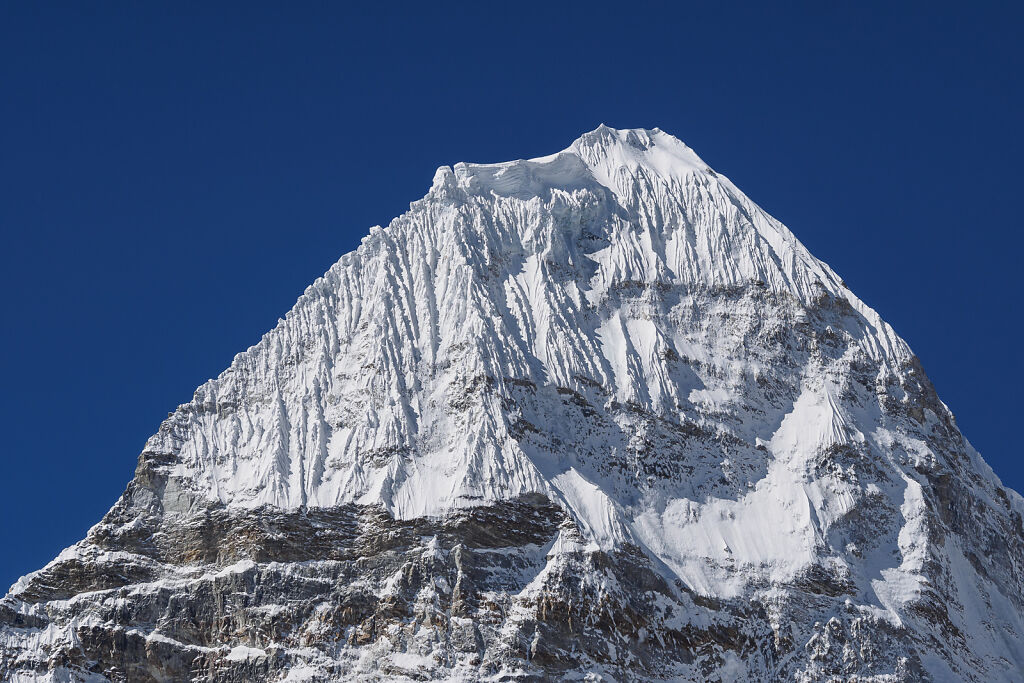
The wedge of Wedge Peak (6802 m) is wedged up in the sky. Pun fully intended ;-)
-
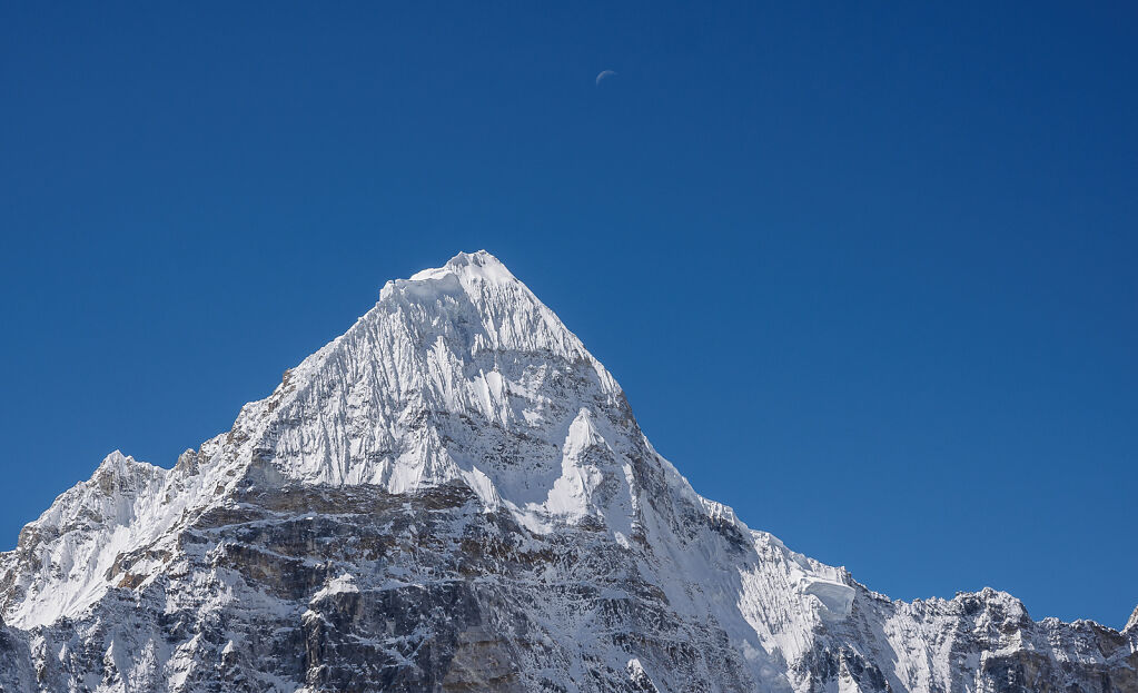
Wedge Peak, a.k.a. Chang Himal, a.k.a. Ramtang Chang (6802 m)
-
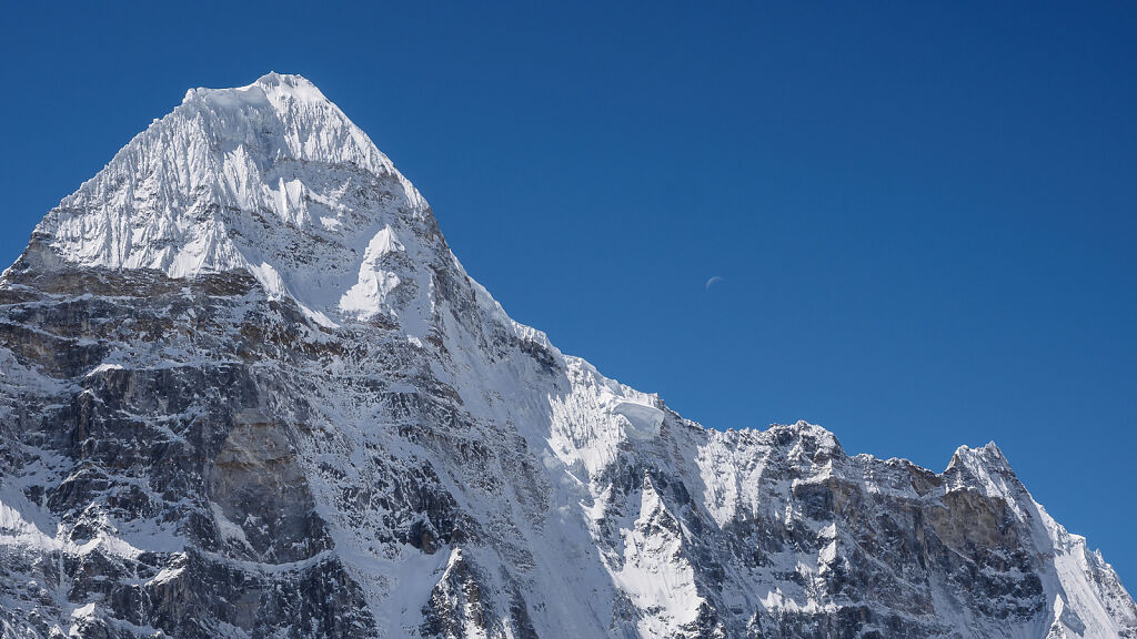
Wedge Peak, a.k.a. Chang Himal, a.k.a. Ramtang Chang (6802 m)