- Previous
- /
- Nepal 2014
- /
- Next
Kanchenjunga North - Lhonak
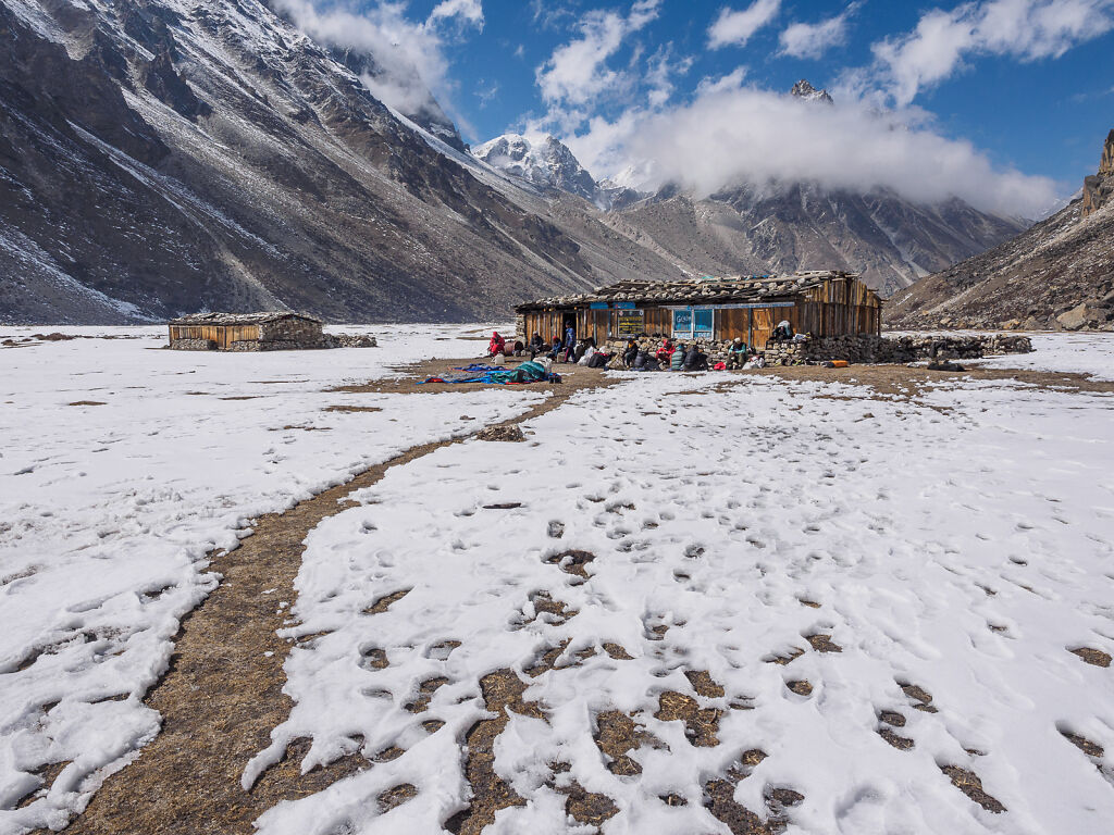
Lhonak is situated at the edge of a dry lake near the lateral moraine of Kanchenjunga Glacier - just a few kilometers from the borders with India and Tibet. It is cold and wind-swept and desolate but stunningly beautiful in its own right.
-
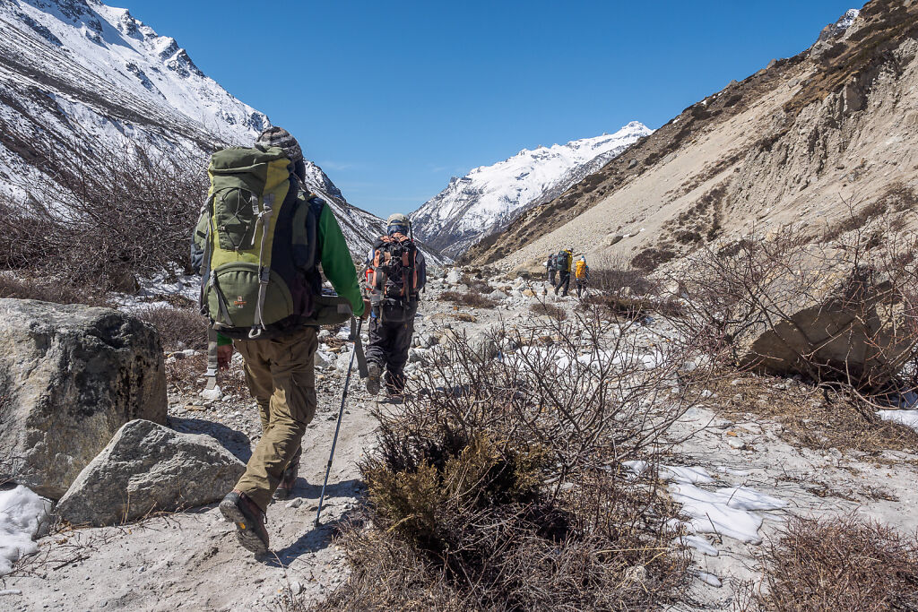
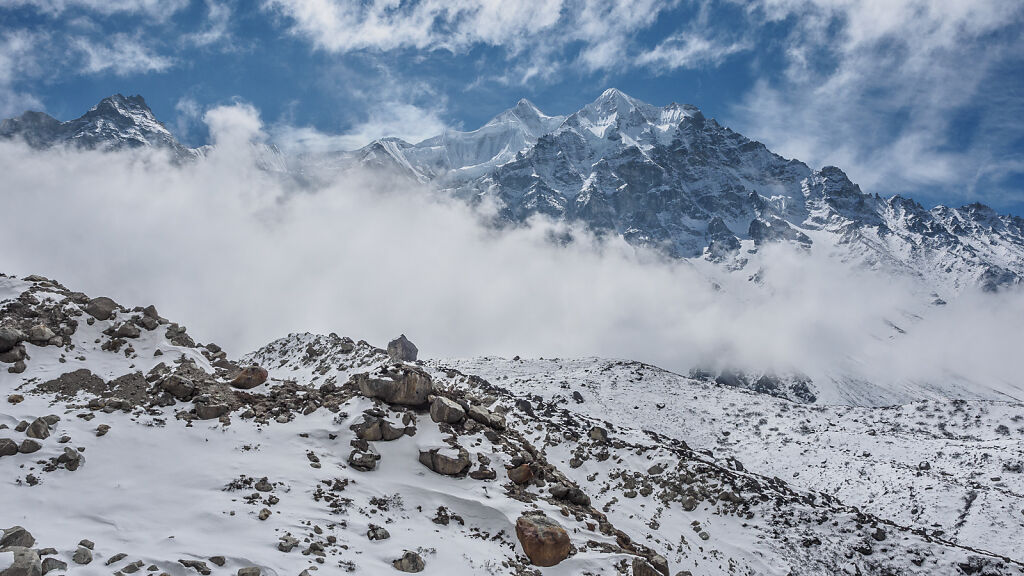
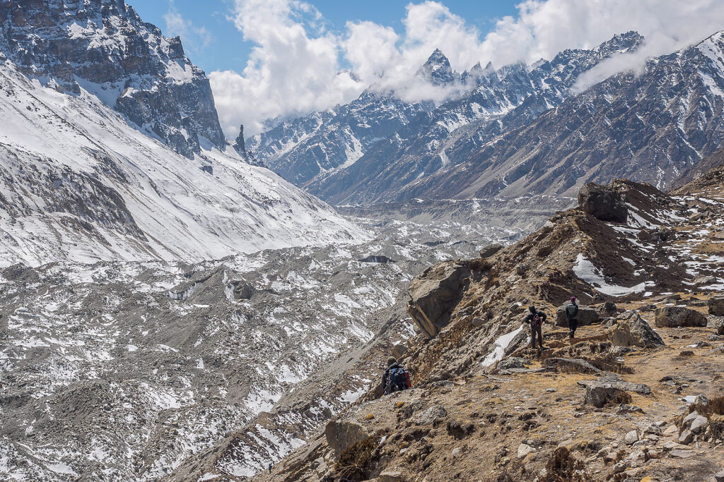
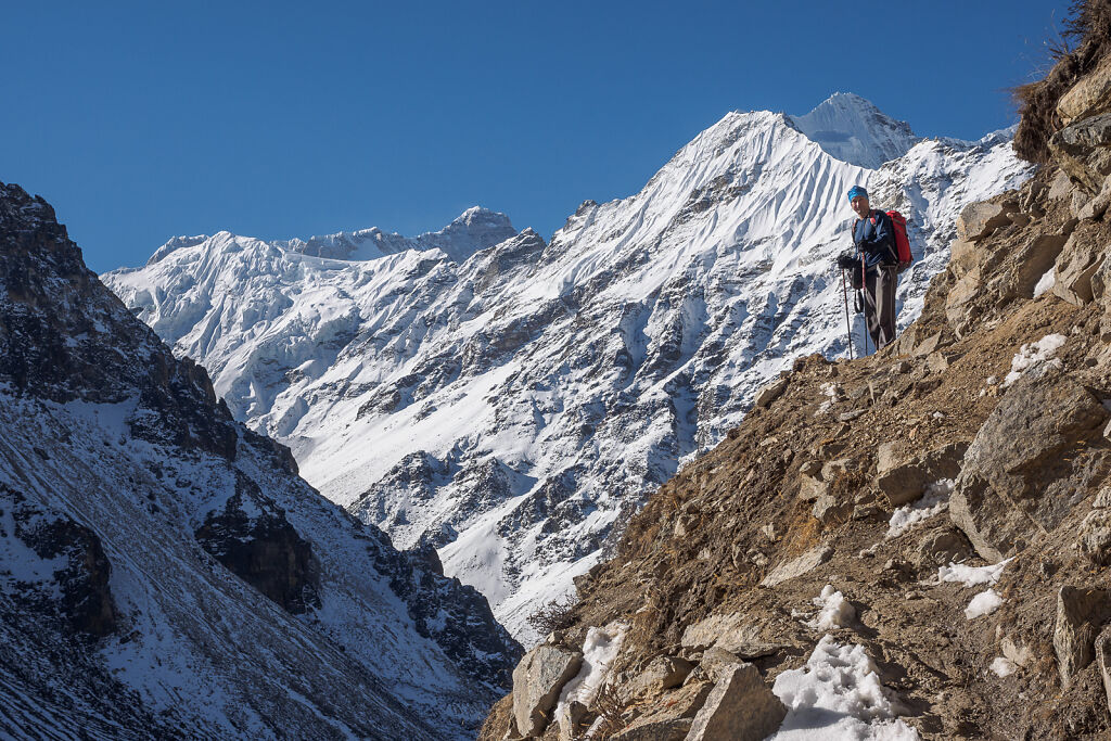
On the trail above Kambachen
-
On the trail above Kambachen on the way to Lhonak
-
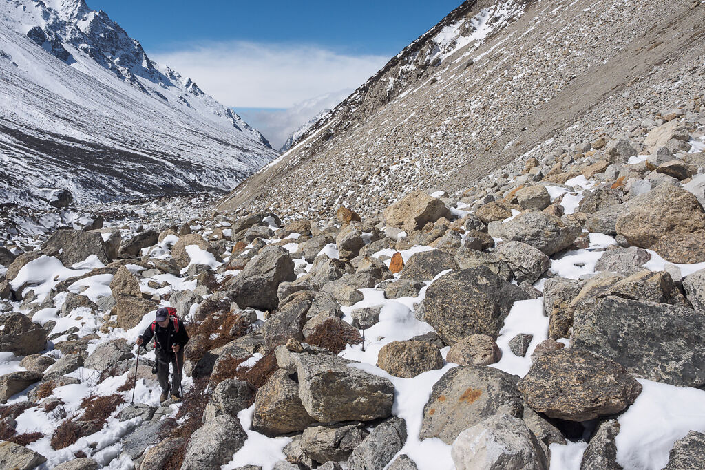
On the trail above Kambachen on the way to Lhonak
-

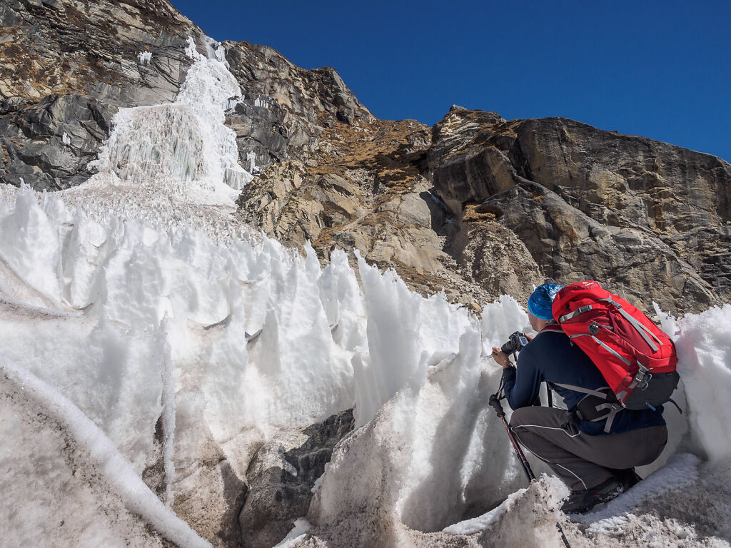
A frozen waterfall turning into a small glacier on the way to Lhonak
-

Crossing the frozen waterfall's ice. I've seen pictures made in November where this otherwise interesting feature of the landscape is almost completely melted.
-
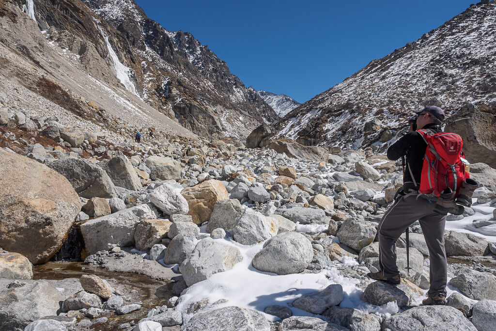
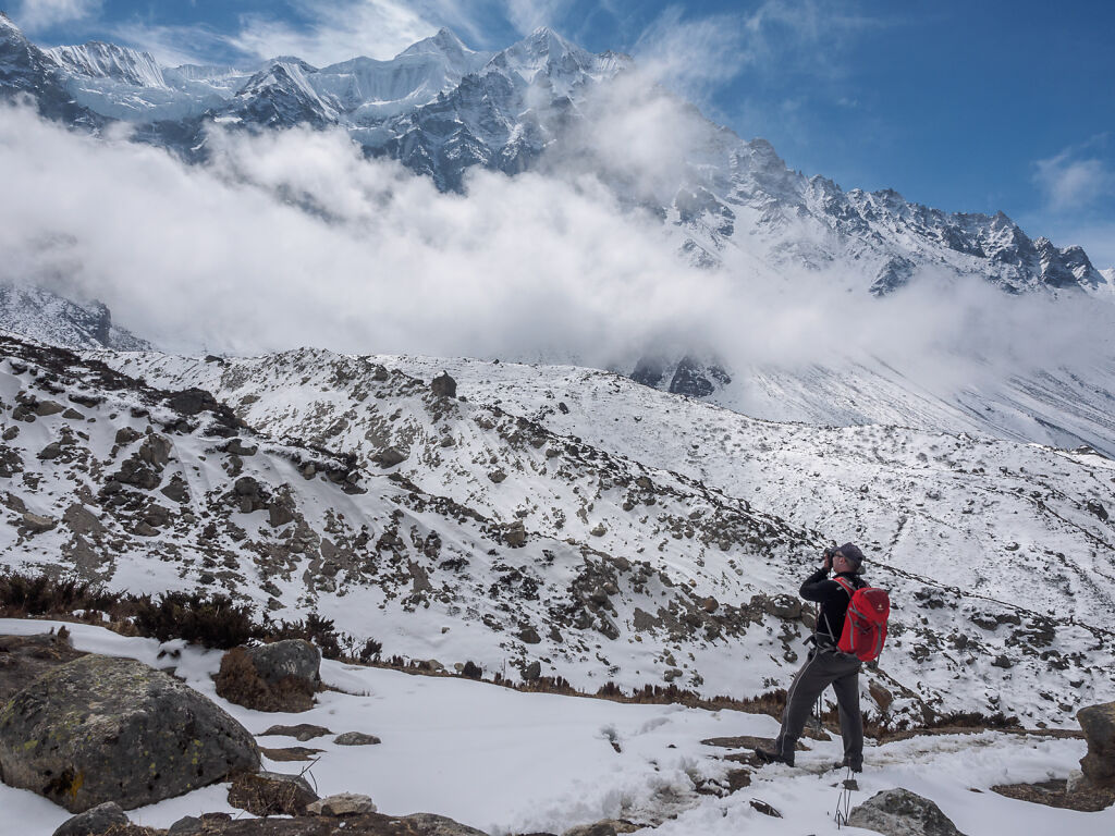
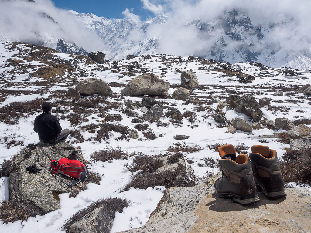
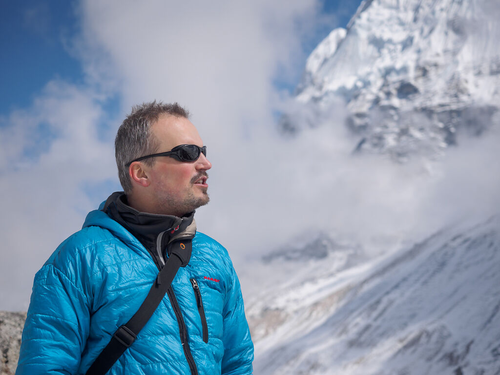
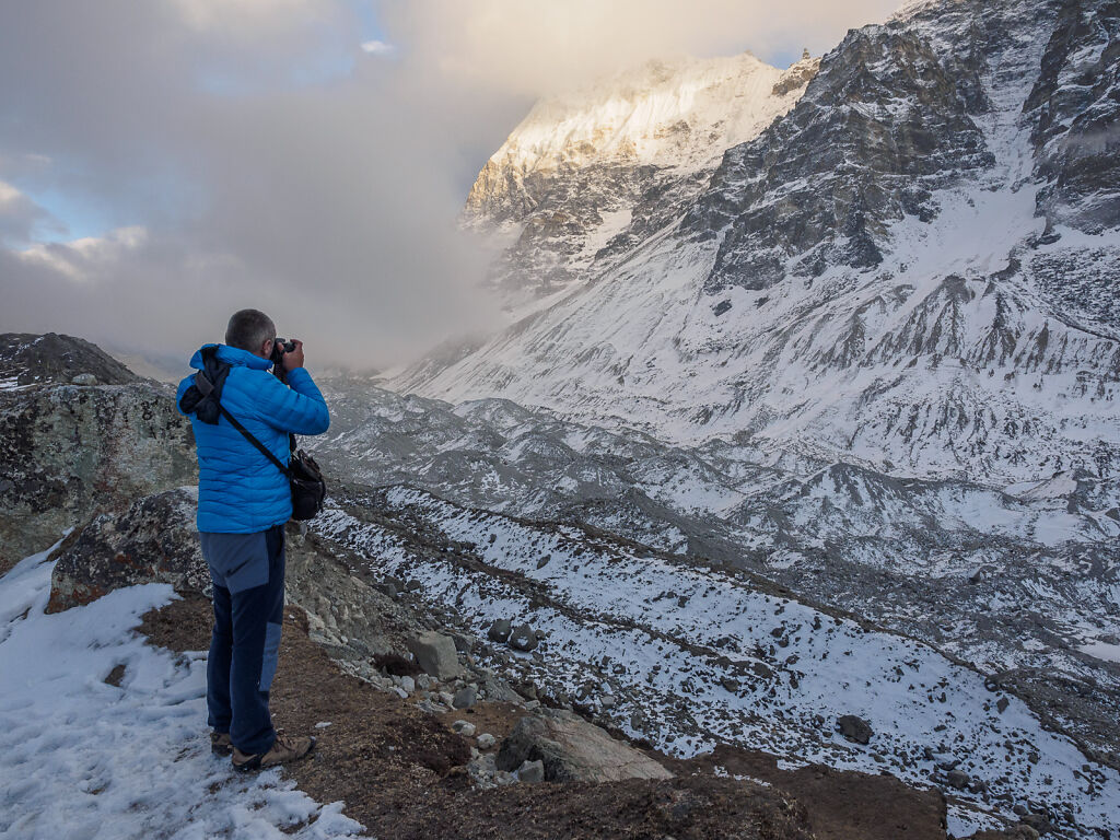
Finding the best angle for a picture
-
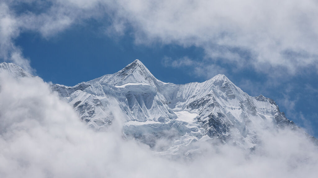
Merra Peak (6334 m)
-
Merra Peak (6334 m)
-

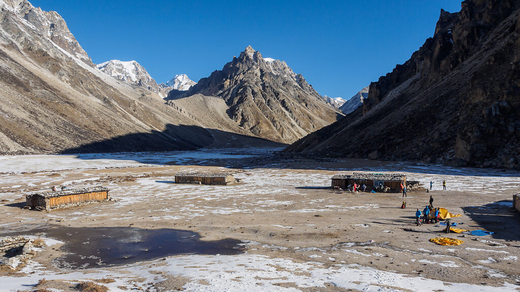
Close to Ramtang (4375 m)
-

Close to Ramtang (4375 m)
-

The flat area opposite the Ramtang Glacier. Above are Tengkoma Peak (6215 m) and Drohmo, a.k.a. Drohma Peak (6855 m) behind it.
-
The flat area opposite the Ramtang Glacier. Above in the clouds are Tengkoma Peak (6215 m) and Drohmo, a.k.a. Drohma Peak (6855 m) behind it.
-
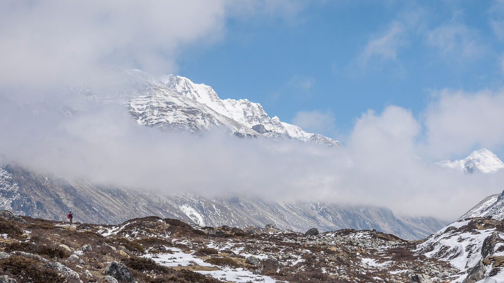
Merra Peak (6334 m) looks almost unreal through the clouds
-
Lunch break opposite the Ramtang Glacier. The big mountain half-hidden in the clouds left on the horizon is Kangbachen (7902 m) - Kanchenjunga's 5th summit.
-
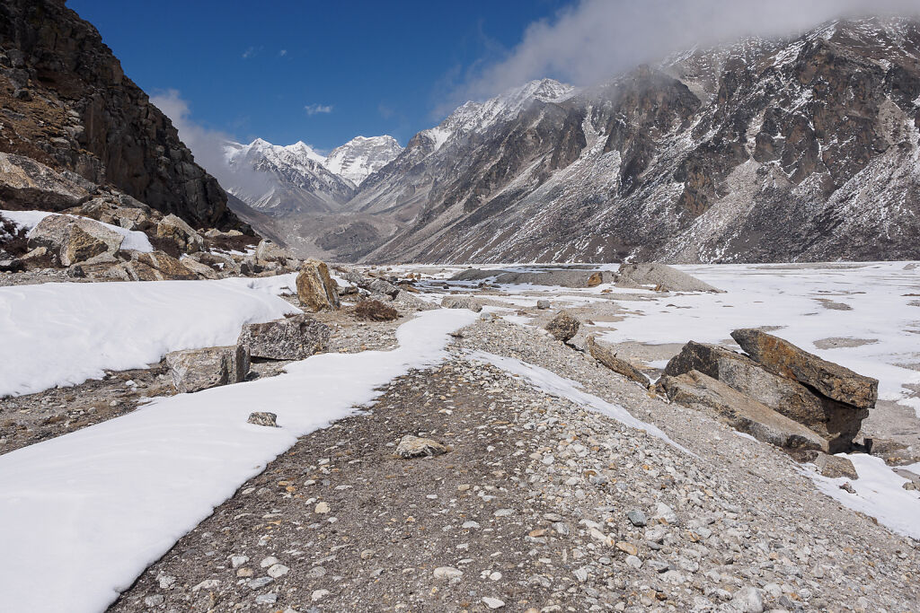
The dry lake before Lhonak. The trapezoid-like mountain on the horizon has to be Janak Chuli (7041 m) - on the borther with Tibet (China)
-
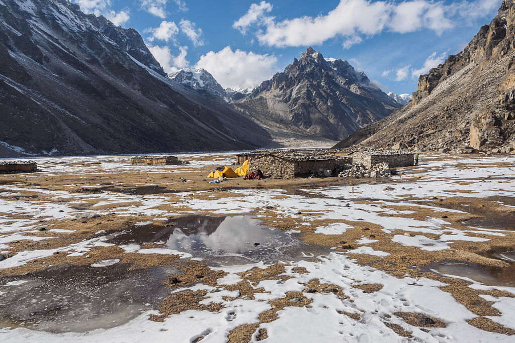
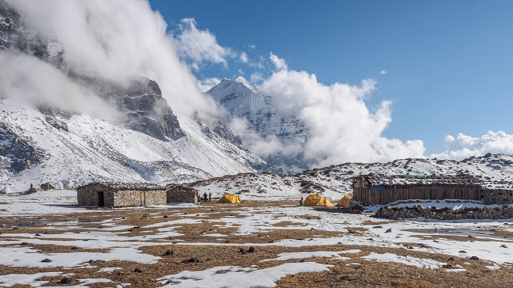
Lhonak (4790 m)
-
Lhonak (4790 m)
-

Ghale - one of our porters resting at Lhonak
-
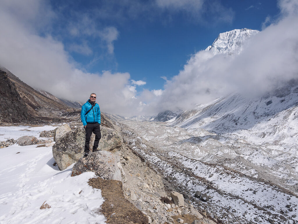
Posing on the edge of Kanchenjunga Glacier. Behind me where the glacier ends Nepal also ends and India begins. Down to the left is a piece of a blue sheep's skeleton - most probably eaten recently by a snow leopard. Up to the right is Mt. Gimmigela (6415 m)
-

Lhonak (4790 m)
-

Lhonak (4790 m)
-
Perhaps rambling about how great this place is ;-)
-

Very very very happy at Lhonak!
-
Lhonak (4790 m). The sharp mountain above is 5892 m-high but has no name on the maps. We gave it a suitable name though: Mount Doom as it bears striking resemblance with the mountain from Lord Of The Rings.
-
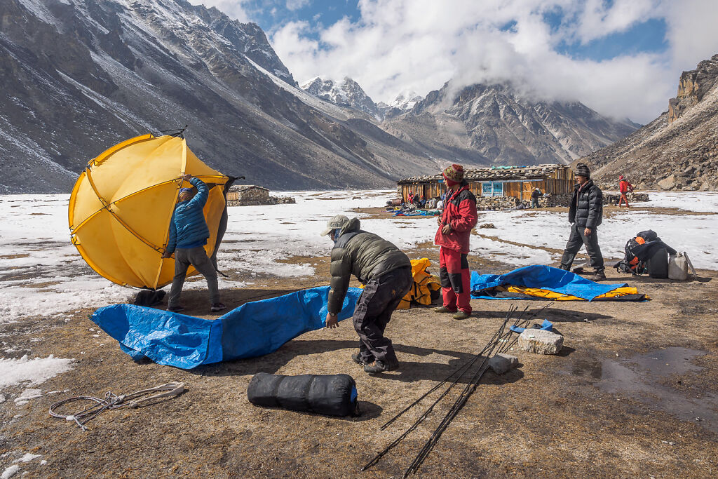
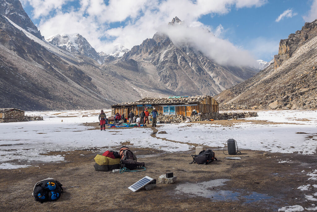
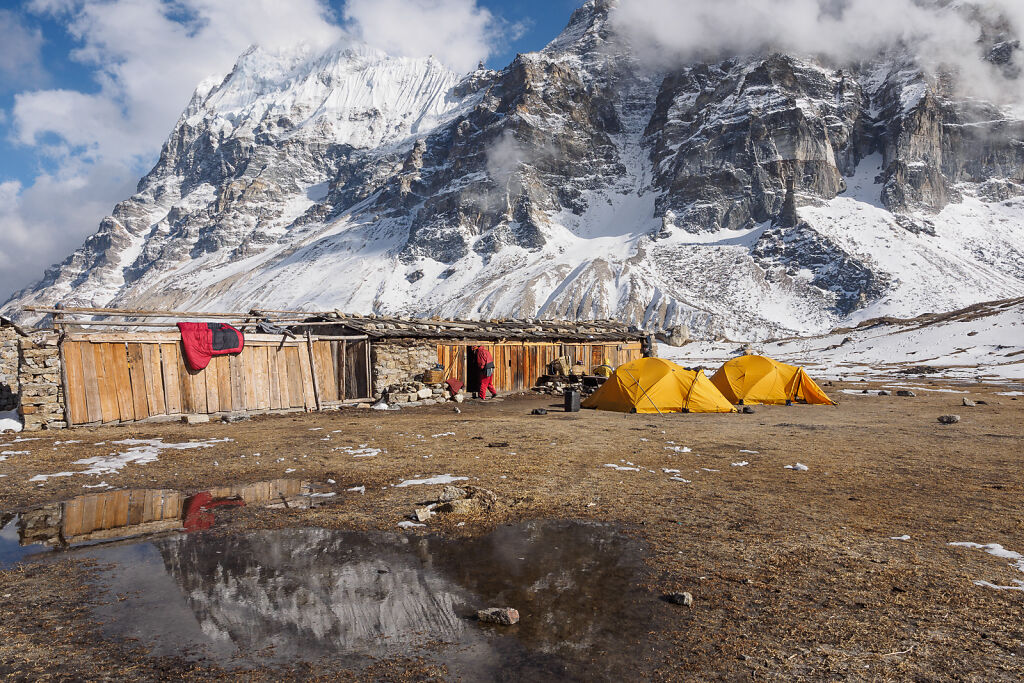
Setting up the camp at Lhonak (4790 m)
-
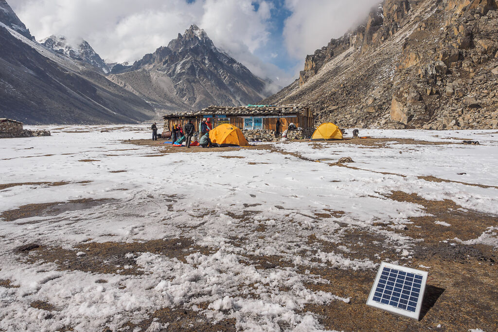
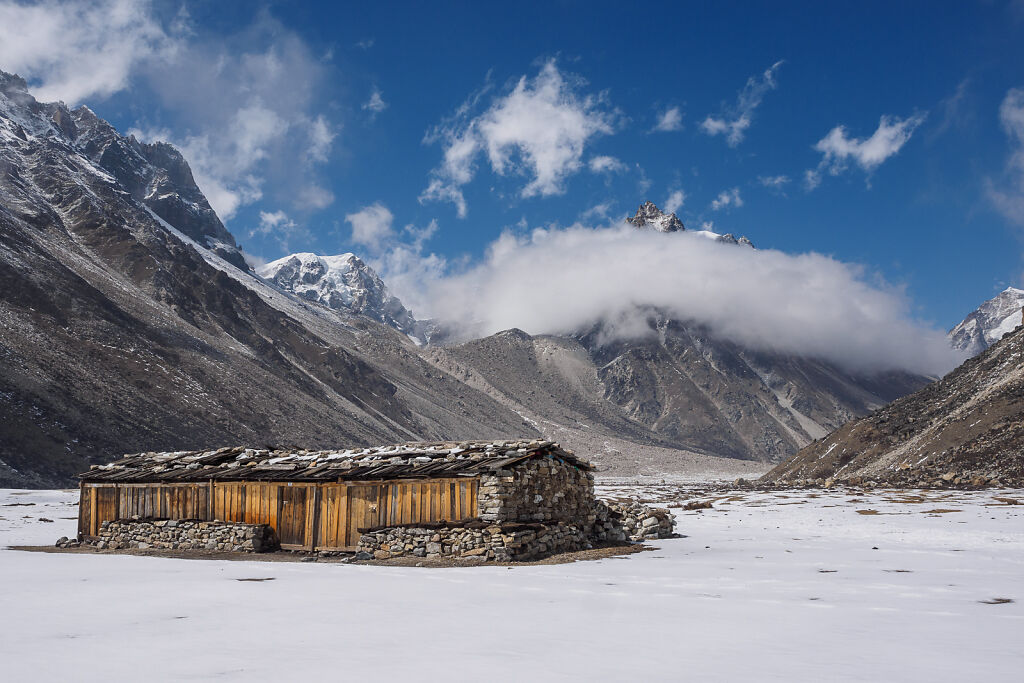
A Ghunsa man came with us to open the lodge for our crew. He brought a solar panel to power a small bulb inside the lodge during the nights.
-

Our camp at Lhonak (4790 m) with Mt. Gimmigela (6415 m) above
-
The setting sun has turned Mt. Gimmigela (6415 m) orange. Below is Kanchenjunga Glacier.
-

Lhonak just before the sun sets
-
Getting ready for bed
-
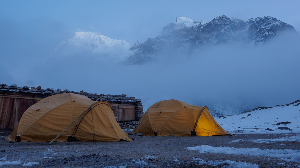
Lhonak after sunset
-
Looking down east at Kanchenjunga Glacier from just above Lhonak
-

A look west from Lhonak. Kanchenjunga Glacier is below. Above is Gimmigela (6415 m). Closing the valley to the left is Tent Peak or Kirat Chuli (7365 m) on the border with India.
-

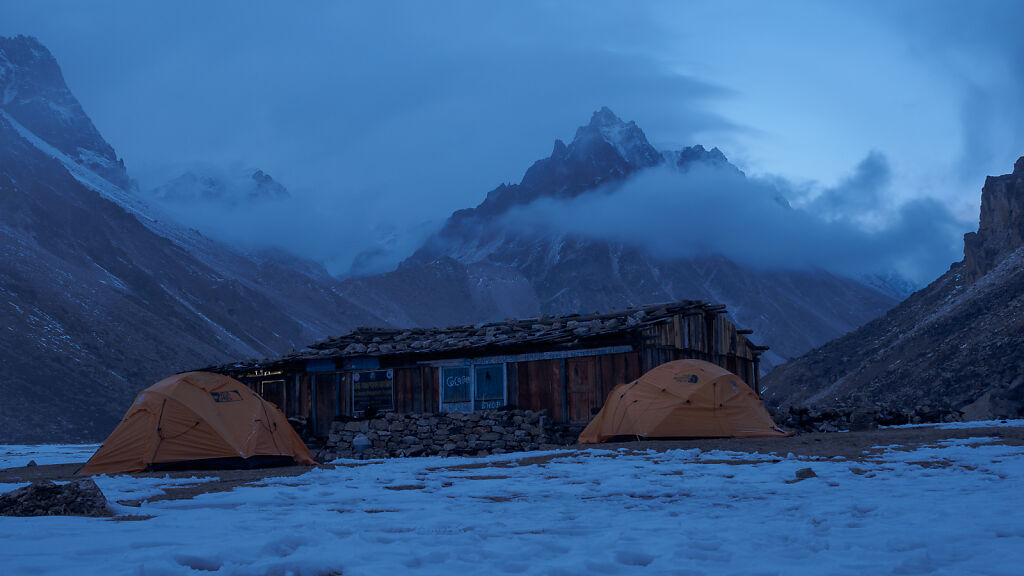
Afternoon in Lhonak
-
Afternoon in Lhonak
-
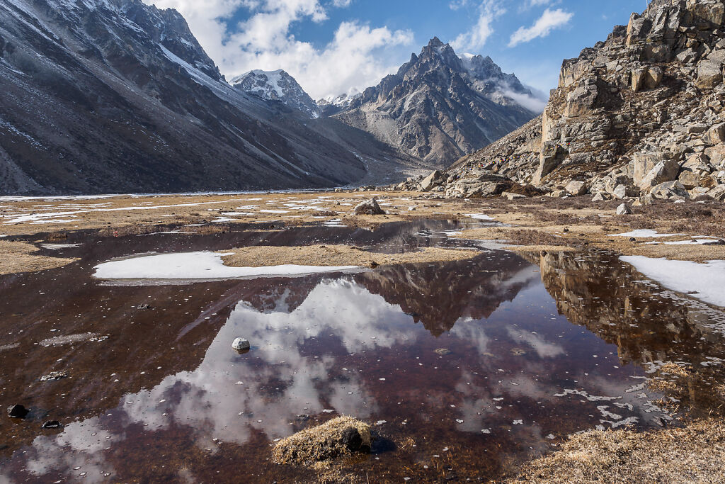
Some afternoon reflections near Lhonak
-
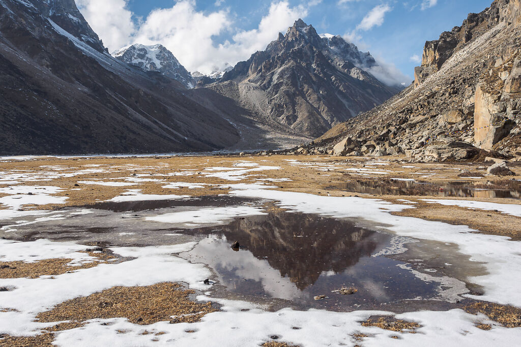
Some afternoon reflections near Lhonak
-
Lhonak before sunset
-

Lhonak before sunset with Mt. Gimmigela (6415 m) above
-
Lhonak before sunset with Mt. Gimmigela (6415 m) above
-
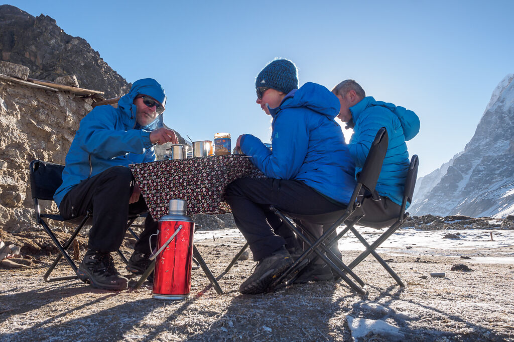
Breakfast at Lhonak
-
Lhonak morning
-

Lhonak morning
-
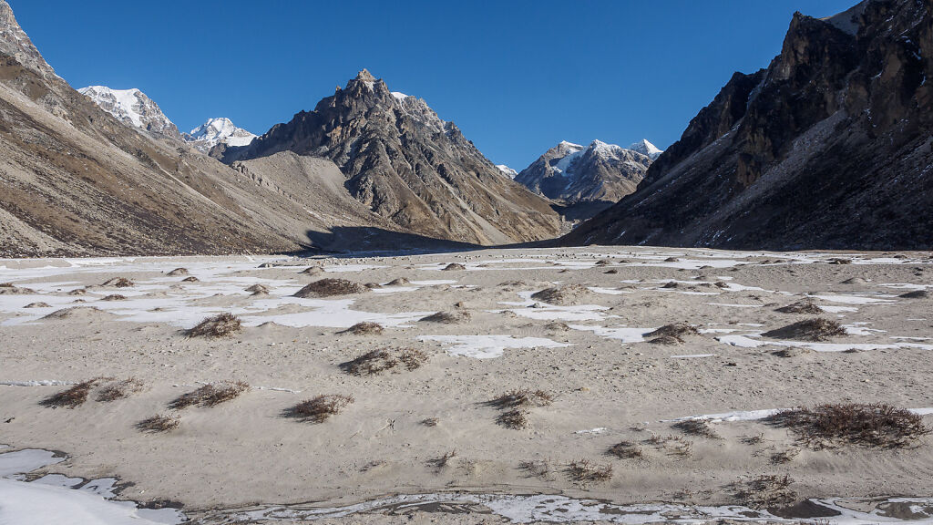
The dry lake near Lhonak looks like a desert
-
On the trail just below Lhonak. The jagged mountain top behind the first ridge to the left is Jannu (7710 m).
-

Looking east from Ramtang. 3 of Kanchenjunga's 5 summits can be seen from here but because of the angle they look almost stacked together. See the next picture in the album for a close up.
-
An interesting point of view over 3 of the 5 summits of Kanchenjunga from Ramtang. Left to right: Kanchenjunga Main (8586 m), Yalung Kang (8505 m) and Kangbachen (7902 m).
-

Merra Peak (6334 m) from Ramtang