- Previous
- /
- Mexico 2011
- /
- Next
Iztaccihuatl
Some pictures from the 3rd-highest mountain in Mexico - Iztaccihuatl (5230 m)
-

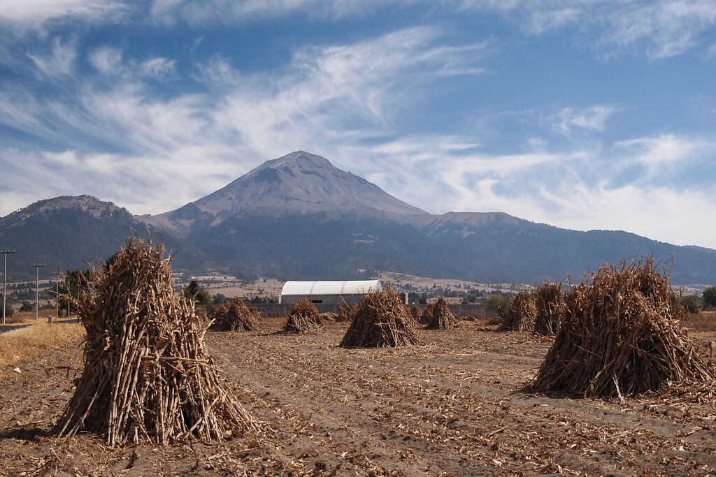
Iztaccihuatl (5230 m) from Amecameca
-
Popocatépetl (5426 m) is Iztaccihuatl neighbour and the second-highest mountain in Mexico. It is an active volcano and climbing it is not allowed.
-

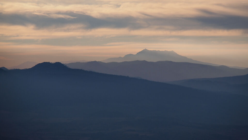
Looking east from Paso de Cortés - the saddle between Iztaccihuatl and Popocatépetl. Pico de Orizaba (5636 m) is seen from a distance of about 150 km.
-
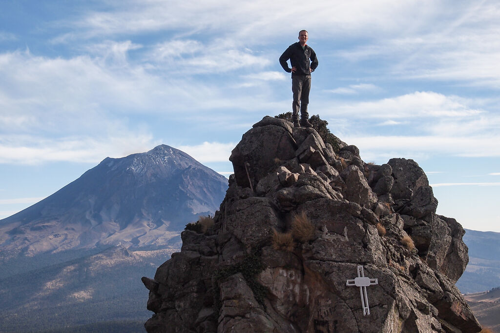
Acclimatizing at approximately 4300 m on the slopes of Iztaccihuatl. Popocatépetl (5426 m) is behind me.
-

Looking west from the slopes of Iztaccihuatl. Nevado de Toluca (4680 m) is on the horizon.
-
Nevado de Toluca (4680 m) is the 4th-highest mountain in Mexico
-

Early morning on the trail to Iztaccihuatl (5230 m)
-
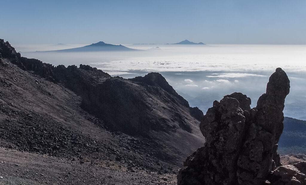
Looking east from Iztaccihuatl's ridge. La Malinche and Pico de Orizaba (5636 m) are on the horizon.
-
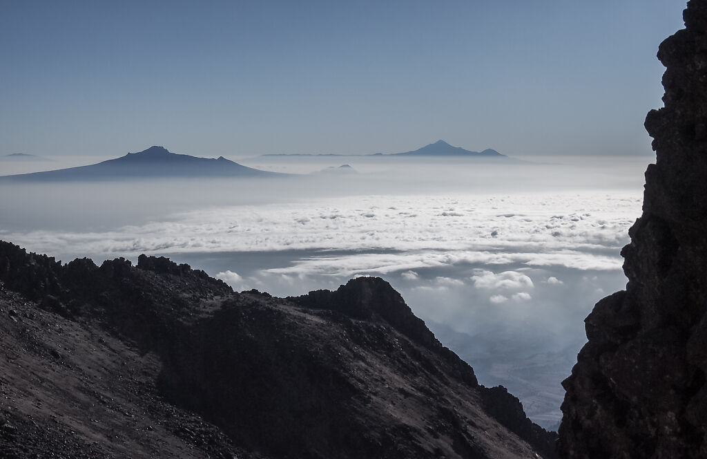
Looking east from Iztaccihuatl's ridge. La Malinche and Pico de Orizaba (5636 m) are on the horizon.
-
Looking east from Iztaccihuatl's ridge
-
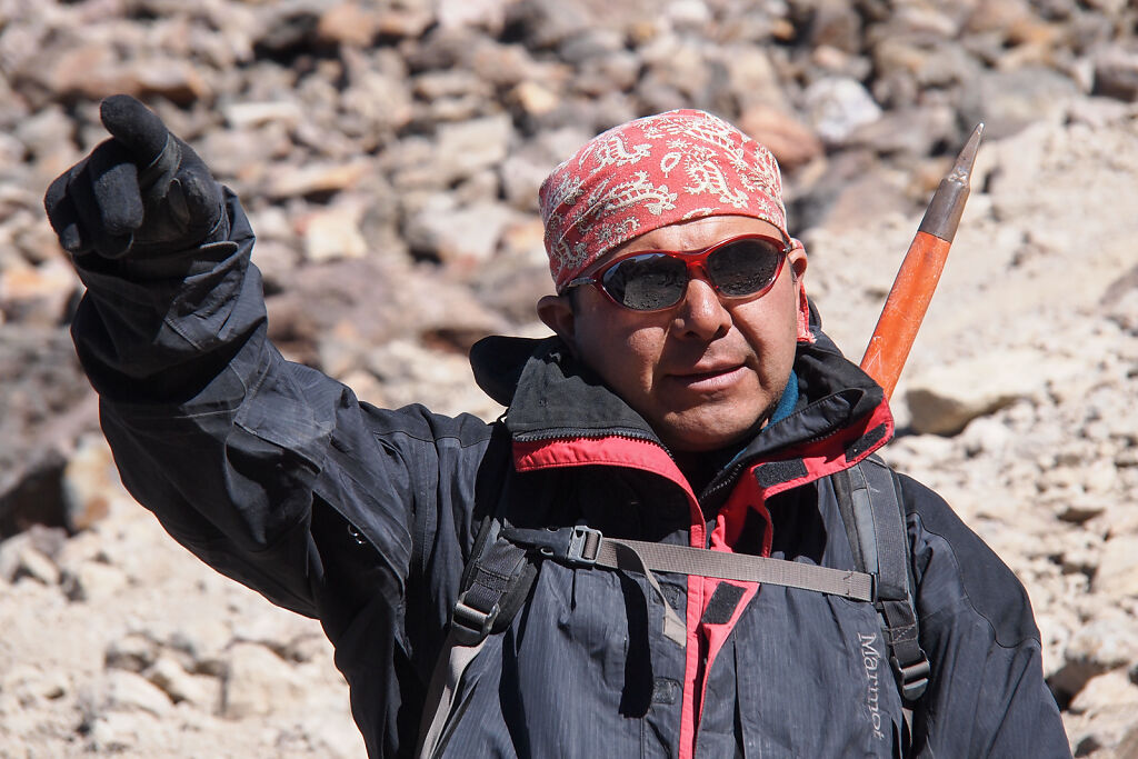
Our guide - Vicente
-
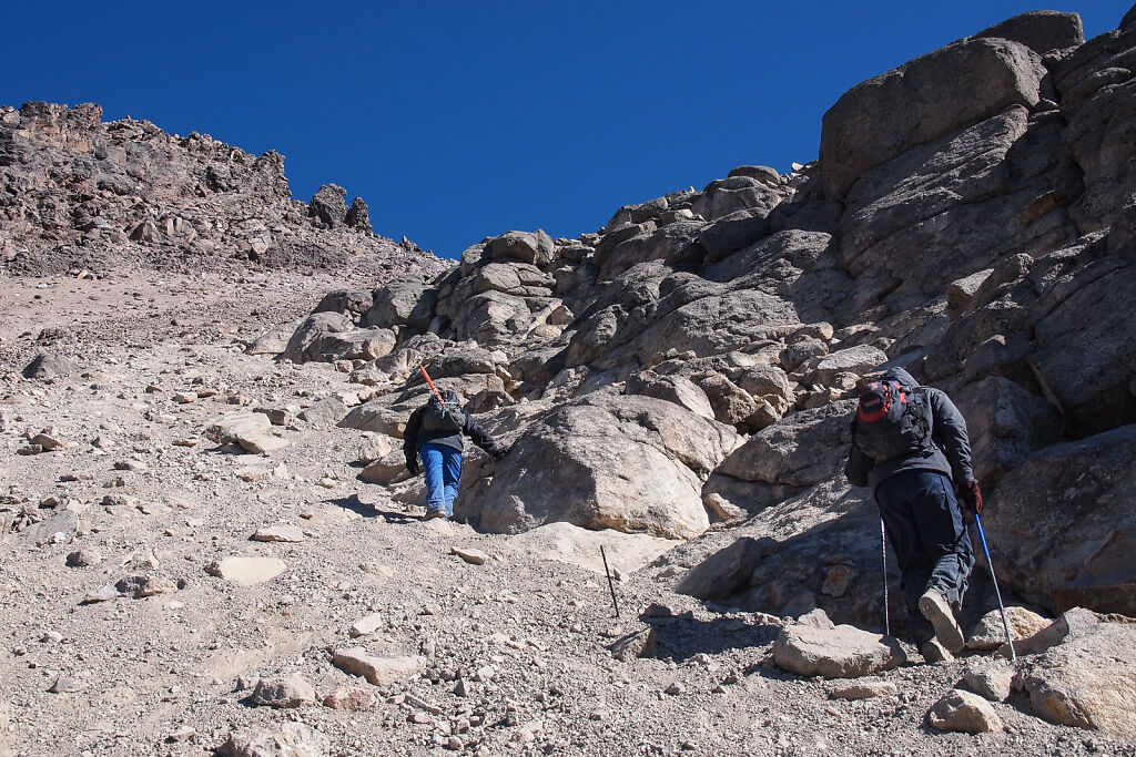
Climbing the steepest part of the route to Iztaccihuatl - right above the hut at 4600 m
-
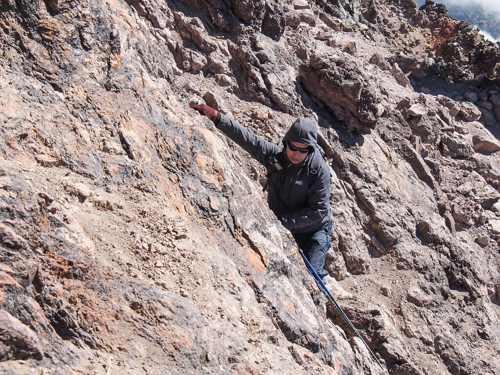
The steepest part of the route
-

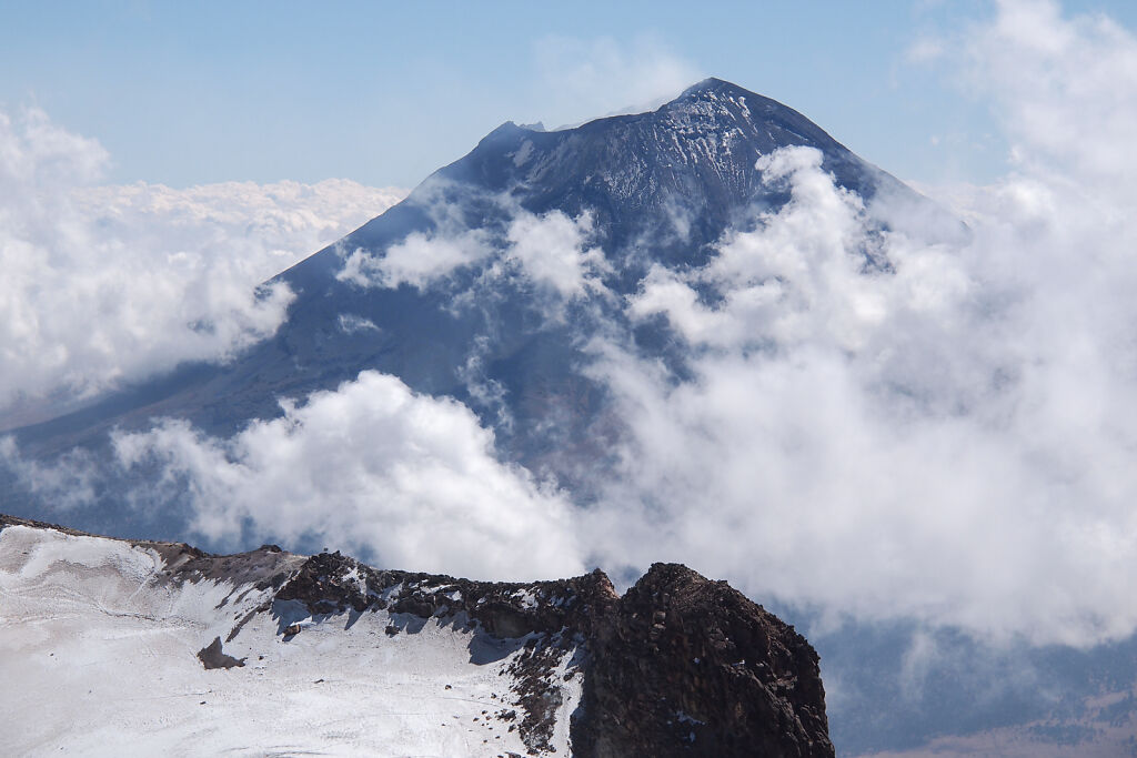
Looking south at Popocatépetl from about 5000 m
-
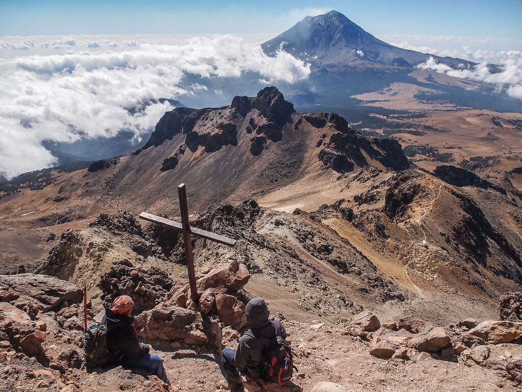
Looking south at Popocatépetl from about 5000 m
-

Popocatépetl's crater
-
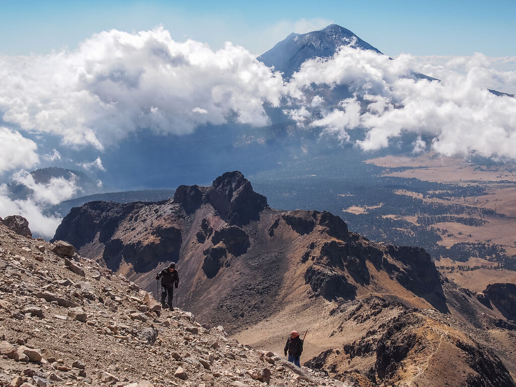
Looking south at Popocatépetl from about 5000 m
-
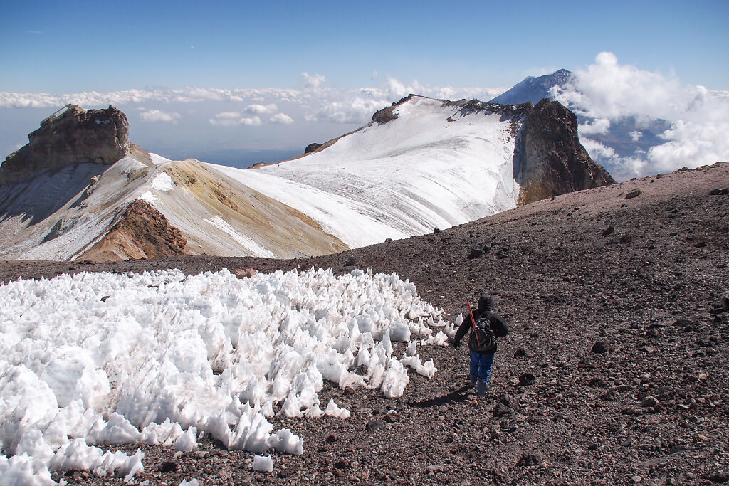
Coming up to the "knees" of the White Woman (Iztaccihuatl)
-
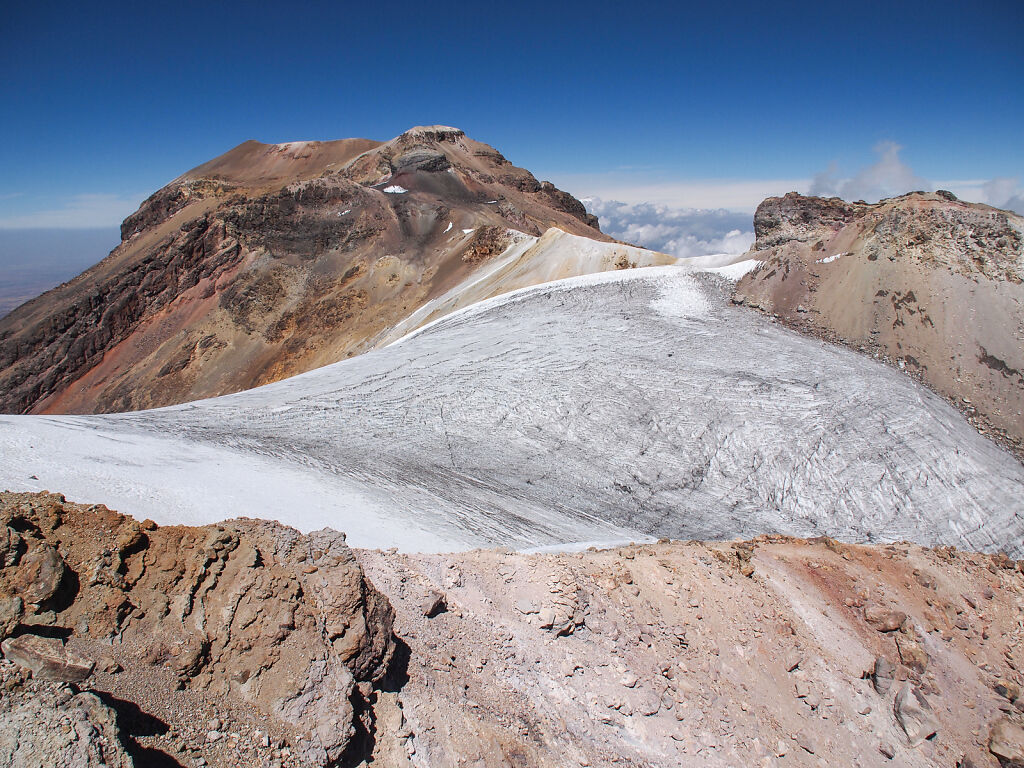
Iztaccihuatl (5230 m). The route to the summit crosses the small glacier on the plateau and climbs to the left up on the ridge.
-

A panorama of Iztaccihuatl (5230 m)
-

A lone climber is coming back from Iztaccihuatl
-

Crossing the glacier below the summit
-
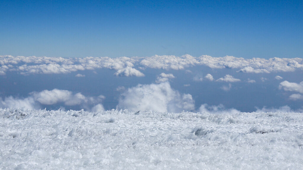
Air and ice
-
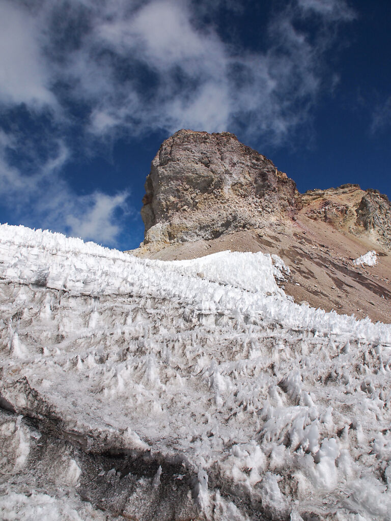
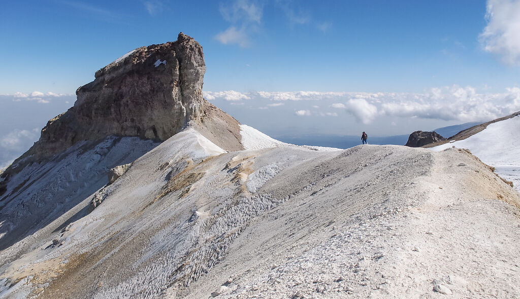
A prominent rock formation near the summit
-
Iztaccihuatl's summit
-
Looking south at Popocatépetl from Iztaccihuatl's summit
-
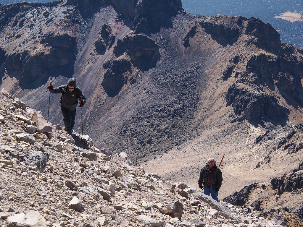
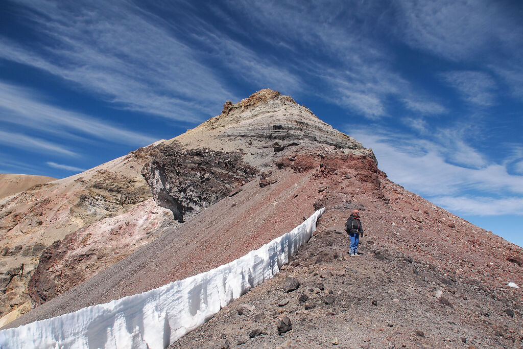
Coming back form Iztaccihuatl
-
Coming back form Iztaccihuatl